Municipal Building, Hartford
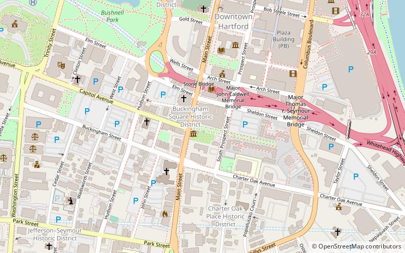
Map

Gallery

Facts and practical information
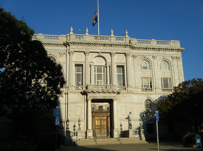
The Hartford Municipal Building, also known as Hartford City Hall, is a historic Beaux-Arts structure located at 550 Main Street in Hartford, Connecticut. Completed in 1915, it is a prominent local example of Beaux-Arts architecture, and is the third building to serve as city hall. It was added to the National Register of Historic Places in 1981. ()
Built: 1915 (111 years ago)Coordinates: 41°45'39"N, 72°40'27"W
Address
Downtown HartfordHartford
ContactAdd
Social media
Add
Day trips
Municipal Building – popular in the area (distance from the attraction)
Nearby attractions include: XL Center, Wadsworth Atheneum, Dunkin' Donuts Park, Bushnell Park.
Frequently Asked Questions (FAQ)
Which popular attractions are close to Municipal Building?
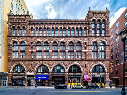
Nearby attractions include Buckingham Square District, Hartford (1 min walk), Main Street Bridge, Hartford (3 min walk), Hartford Public Library, Hartford (3 min walk), The Amistad Center for Art & Culture, Hartford (3 min walk).
How to get to Municipal Building by public transport?
The nearest stations to Municipal Building:
Bus
Train
Bus
- Hartford Megabus (16 min walk)
- Hartford Union Station (18 min walk)
Train
- Hartford (17 min walk)


