Jefferson Avenue, Detroit
Map

Gallery

Facts and practical information
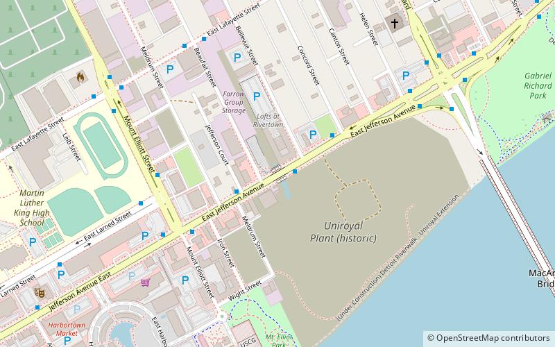
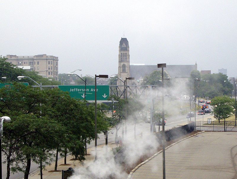
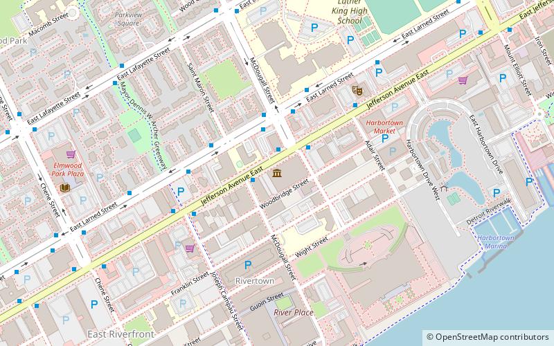
Jefferson Avenue is a 63.71-mile-long scenic road along the eastern part of the Detroit metropolitan area in the southeastern part of the U.S. state of Michigan. It travels alongside Lake Erie, the Detroit River, and Lake St. Clair. This road also provides access to many recreational facilities in the area. West Jefferson Avenue is primarily commercial, while East Jefferson Avenue contains a historic residential district. ()
Address
Lower East Detroit (Islandview)Detroit
ContactAdd
Social media
Add
Day trips
Jefferson Avenue – popular in the area (distance from the attraction)
Nearby attractions include: Chene Park, James Scott Memorial Fountain, Nancy Brown Peace Carillon, Heidelberg Project.
Frequently Asked Questions (FAQ)
Which popular attractions are close to Jefferson Avenue?
Nearby attractions include The Players, Detroit (11 min walk), MacArthur Bridge, Detroit (12 min walk), East Jefferson Avenue Residential TR, Detroit (15 min walk), William H. Wells House, Detroit (15 min walk).
How to get to Jefferson Avenue by public transport?
The nearest stations to Jefferson Avenue:
Bus
Bus
- Jefferson / Bellevue NS • Lines: 09, 620 (1 min walk)


