Mount Oread Civil War posts, Lawrence
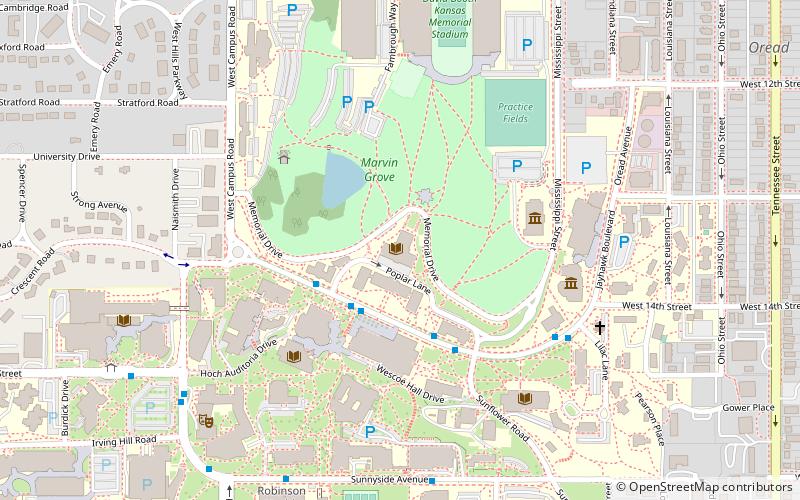
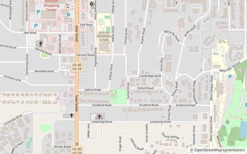
Map
Map

Facts and practical information
Lawrence, Kansas was not well defended in the early part of the Civil War. That ended with William Quantrill's devastating guerrilla raid August 21, 1863. By early 1864 Union soldiers were permanently camped on the top and slopes of Mount Oread, then to Lawrence's southwest. It seems the camp was originally named Camp Ewing, after Brig. Gen. Thomas Ewing. ()
Coordinates: 38°57'47"N, 95°15'26"W
Address
HillcrestLawrence
ContactAdd
Social media
Add
Day trips
Mount Oread Civil War posts – popular in the area (distance from the attraction)
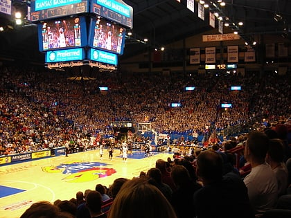
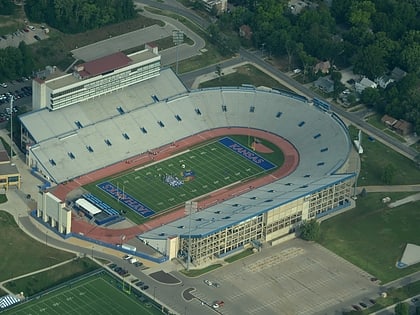
Nearby attractions include: Allen Fieldhouse, Memorial Stadium, Watkins Museum of History, Spencer Museum of Art.
Frequently Asked Questions (FAQ)
Which popular attractions are close to Mount Oread Civil War posts?
Nearby attractions include Mount Oread, Lawrence (1 min walk), Kenneth Spencer Research Library, Lawrence (16 min walk), Bailey Hall, Lawrence (16 min walk), Lied Center of Kansas, Lawrence (17 min walk).
How to get to Mount Oread Civil War posts by public transport?
The nearest stations to Mount Oread Civil War posts:
Bus
Bus
- Naismith Dr West of Murphy • Lines: 27 (14 min walk)
- Snow Hall WB • Lines: 27 (14 min walk)

