Fisher's Lane Bridge, Philadelphia
Map
Gallery
Facts and practical information
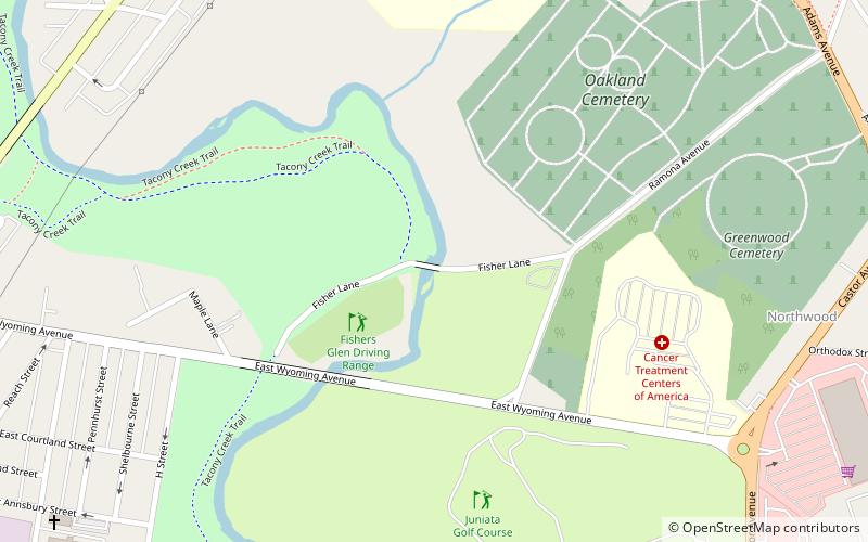
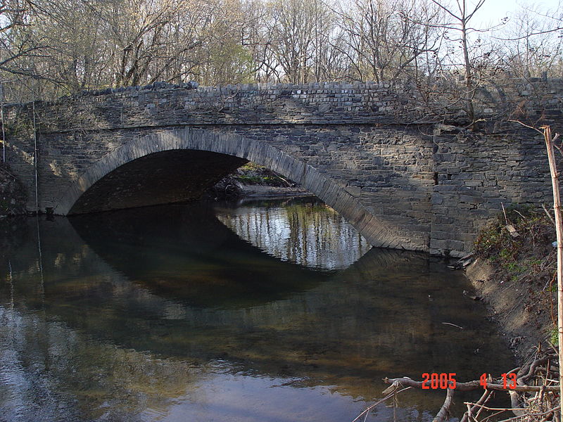
Fisher's Lane Bridge is a historic stone arch bridge that carries Fisher's Lane west of Ramona Avenue across Tacony Creek in Tacony Creek Park in Philadelphia, Pennsylvania. ()
Opened: 1759 (267 years ago)Coordinates: 40°1'15"N, 75°6'12"W
Address
Kensington (Northwood)Philadelphia
ContactAdd
Social media
Add
Day trips
Fisher's Lane Bridge – popular in the area (distance from the attraction)
Nearby attractions include: Frankford Branch, John Ruan House, Greenwood Cemetery, Frankford Friends Meeting House.
Frequently Asked Questions (FAQ)
Which popular attractions are close to Fisher's Lane Bridge?
Nearby attractions include Thomas Creighton School, Philadelphia (8 min walk), Greenwood Cemetery, Philadelphia (10 min walk), Juniata, Philadelphia (23 min walk), Philadelphia Charter School for Arts and Sciences, Philadelphia (24 min walk).
How to get to Fisher's Lane Bridge by public transport?
The nearest stations to Fisher's Lane Bridge:
Metro
Train
Metro
- Church • Lines: Mfl (27 min walk)
- Arrott Transportation Center • Lines: Mfl (28 min walk)
Train
- Olney (35 min walk)

 SEPTA Regional Rail


