Peabody City Park, Peabody
Map

Map

Facts and practical information
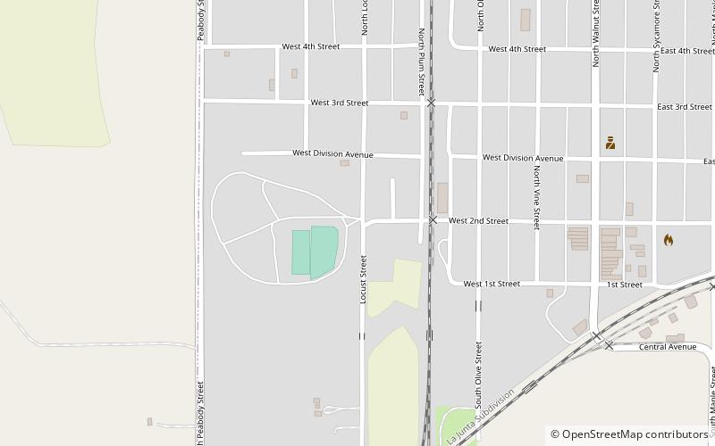
Peabody City Park was listed on the National Register of Historic Places in 2012, and the sixth NRHP listing in Peabody, Kansas, United States. The park is approximately 3 blocks by 2 blocks in size and located in southwest Peabody. ()
Elevation: 1362 ft a.s.l.Coordinates: 38°9'58"N, 97°6'45"W
Address
Peabody
ContactAdd
Social media
Add
Day trips
Peabody City Park – popular in the area (distance from the attraction)
Nearby attractions include: W.H. Morgan House, Peabody Downtown Historic District, Peabody Historical Library Museum, Peabody Township Library.
Frequently Asked Questions (FAQ)
Which popular attractions are close to Peabody City Park?
Nearby attractions include Peabody Downtown Historic District, Peabody (8 min walk), Peabody Township Library, Peabody (9 min walk), W.H. Morgan House, Peabody (9 min walk), Peabody Historical Library Museum, Peabody (10 min walk).


