Mount Deception, Denali National Park
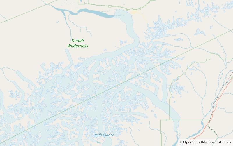
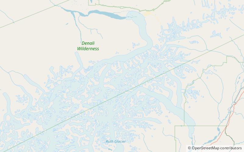
Map

Map

Facts and practical information
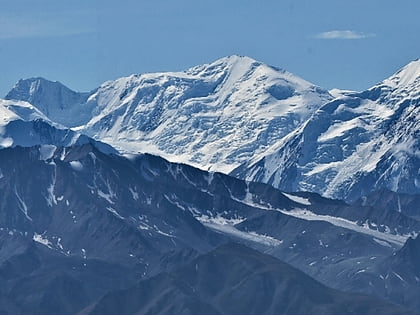
Mount Deception is a 11,539-foot mountain in the Alaska Range, in Denali National Park and Preserve. Mount Deception lies 16 miles east-southeast of Denali, overlooking Brooks Glacier. The glacier-covered mountain was named by a U.S. Army crash investigation party on November 13, 1944, who were the first to ascend the mountain while investigating an airplane crash that happened in September 1944. ()
First ascent: 1944Elevation: 11539 ftProminence: 2126 ftCoordinates: 63°9'30"N, 150°32'6"W
Address
Denali National Park
ContactAdd
Social media
Add
Day trips
Mount Deception – popular in the area (distance from the attraction)
Nearby attractions include: Brooks Glacier, Mount Silverthrone, Mount Brooks, Wedge Peak.


