Presidential Range, Green Mountain National Forest
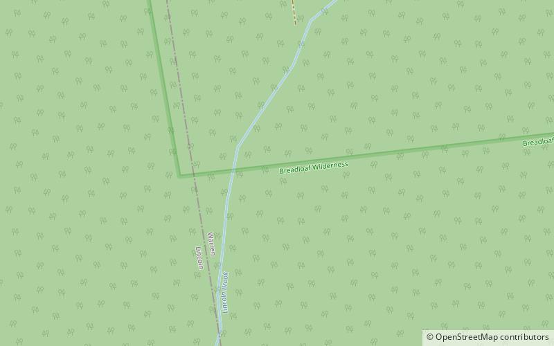
Map
Facts and practical information
The Presidential Range is a mountain range in the Green Mountains of the U.S. state of Vermont. All of the summits of the peaks in the range are located in Addison County but the eastern slopes in the northern part of the range extend into Washington County. The major peaks in the range are named for several U.S. presidents from the period of the American Civil War through World War I. ()
Elevation: 4006 ftProminence: 286 ftCoordinates: 44°4'60"N, 72°55'0"W
Address
Green Mountain National Forest
ContactAdd
Social media
Add
Day trips
Presidential Range – popular in the area (distance from the attraction)
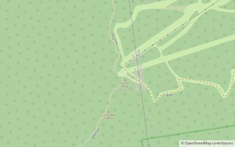
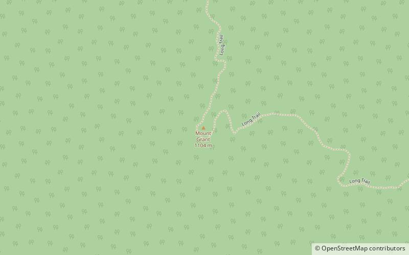
Nearby attractions include: Mount Abraham, Lincoln Peak, Mount Ellen, Mount Grant.

