Bell Park, Houston
Map
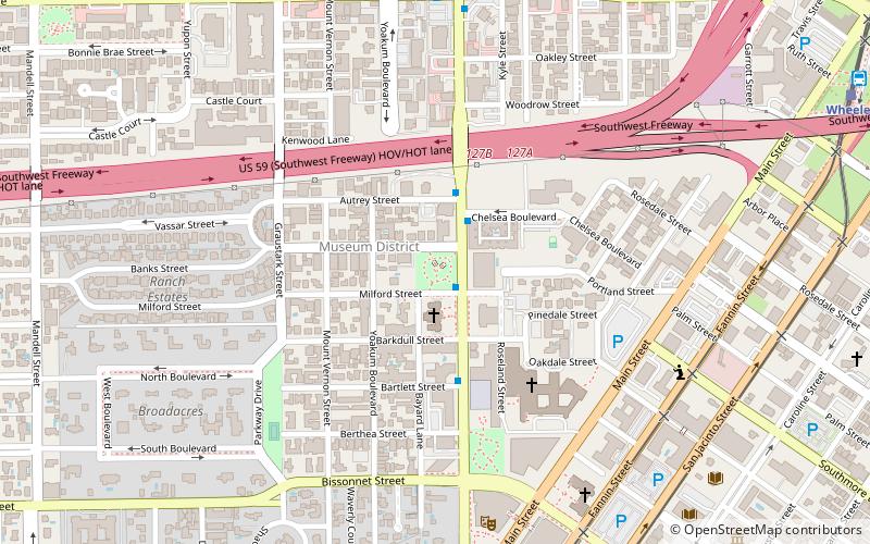
Map

Facts and practical information
Bell Park is a 1.15-acre park along Montrose Boulevard in Houston, in the U.S. state of Texas. It is named for C.C. Bell, who donated the park land to the city. ()
Elevation: 49 ft a.s.l.Coordinates: 29°43'47"N, 95°23'30"W
Address
4800 MontroseSouth Central Houston (The Museum District)Houston
ContactAdd
Social media
Add
Day trips
Bell Park – popular in the area (distance from the attraction)
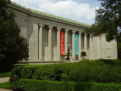
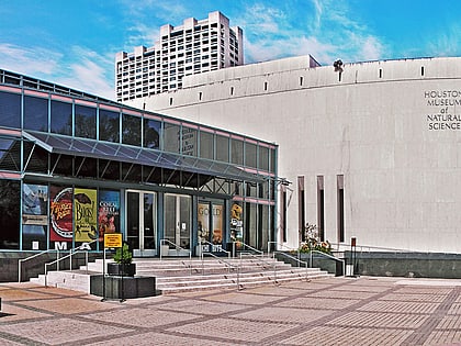
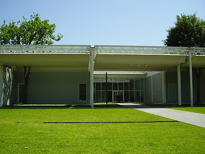
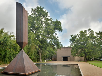
Nearby attractions include: Museum of Fine Arts, John C. Freeman Weather Museum, Houston Museum of Natural Science, Menil Collection.
Frequently Asked Questions (FAQ)
Which popular attractions are close to Bell Park?
Nearby attractions include First Presbyterian Church, Houston (5 min walk), The Pilgrim, Houston (6 min walk), Lillie and Hugh Roy Cullen Sculpture Garden, Houston (6 min walk), Contemporary Arts Museum Houston, Houston (6 min walk).
How to get to Bell Park by public transport?
The nearest stations to Bell Park:
Light rail
Bus
Train
Light rail
- Museum District • Lines: Red (11 min walk)
- Wheeler • Lines: Red (14 min walk)
Bus
- Wheeler Station Transit Center (15 min walk)
- Shelter C • Lines: 2211 (34 min walk)
Train
- M. D. Anderson Station (17 min walk)
- Kinder Station (23 min walk)

