Fort Wadsworth Light, New York City
Map
Map

Facts and practical information
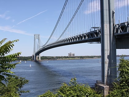
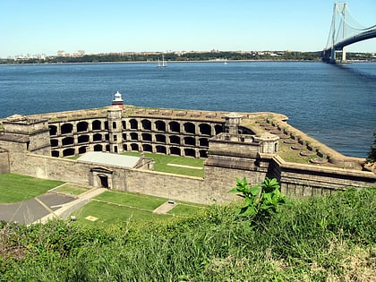
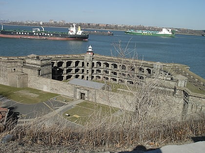
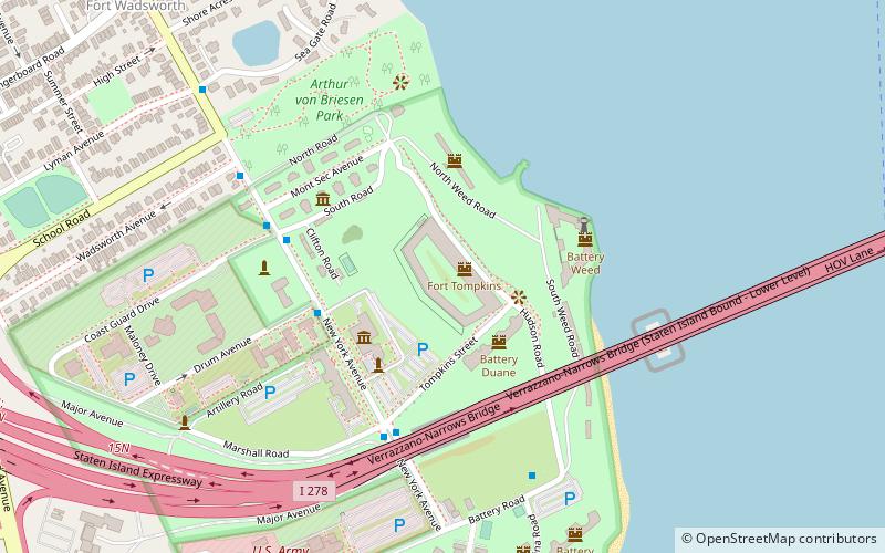
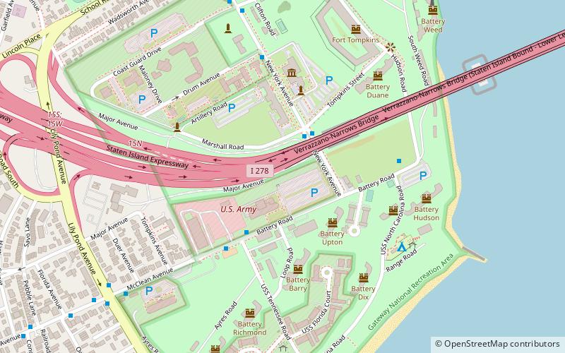
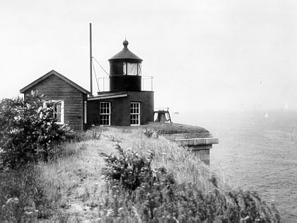
Fort Wadsworth Light is a 1903 lighthouse built atop Battery Weed on Staten Island in New York Harbor. The light illuminates the Narrows, the entrance to the harbor. It is located under the Verrazzano-Narrows Bridge. Fort Wadsworth Light was part of the transfer of Fort Wadsworth from the Navy to the National Park Service in March 1995 as part of Gateway National Recreation Area. ()
Address
East Shore (Fort Wadsworth)New York City
ContactAdd
Social media
Add
Day trips
Fort Wadsworth Light – popular in the area (distance from the attraction)
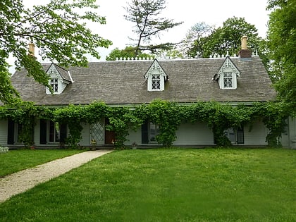
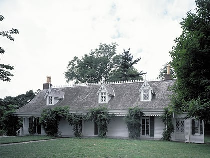
Nearby attractions include: Verrazano-Narrows Bridge, Alice Austen House, Battery Weed, Garibaldi-Meucci Museum.
Frequently Asked Questions (FAQ)
Which popular attractions are close to Fort Wadsworth Light?
Nearby attractions include Fort Wadsworth, New York City (1 min walk), Flagstaff Fort, New York City (7 min walk), Battery Weed, New York City (9 min walk), Verrazano-Narrows Bridge, New York City (21 min walk).
How to get to Fort Wadsworth Light by public transport?
The nearest stations to Fort Wadsworth Light:
Bus
Bus
- New York Avenue & Marshall Road • Lines: S51 (2 min walk)
- Battery Road & Tennessee Road • Lines: S51 (4 min walk)
 Subway
 Manhattan Buses