Baldy Bowl, San Gabriel Mountains National Monument
Map

Map

Facts and practical information
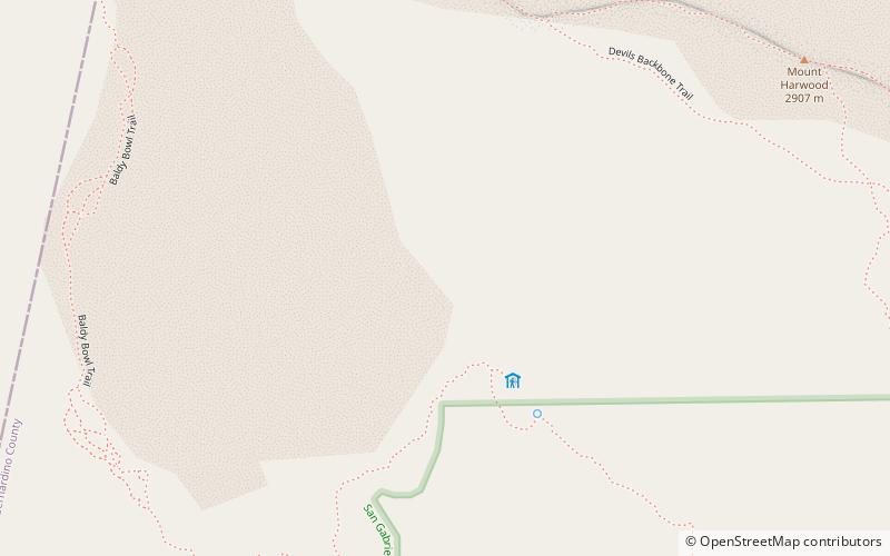
Baldy Bowl is a fluvial cirque, in the San Gabriel Mountains of the U.S. state of California, that forms much of the upper south face of Mount San Antonio. It is one of the most visited backcountry locales in the San Gabriels, and is popular with skiers, hikers, and climbers. It has a base elevation of around 8,200 ft. ()
Coordinates: 34°16'59"N, 117°38'24"W
Address
San Gabriel Mountains National Monument
ContactAdd
Social media
Add
Day trips
Baldy Bowl – popular in the area (distance from the attraction)
Nearby attractions include: Mount San Antonio, Mount Harwood, San Gabriel Mountains, Mount Baldy Ski Lifts.
Frequently Asked Questions (FAQ)
Which popular attractions are close to Baldy Bowl?
Nearby attractions include Mount Harwood, San Gabriel Mountains National Monument (12 min walk), Mount San Antonio, Sheep Mountain Wilderness (14 min walk), San Gabriel Mountains, Sheep Mountain Wilderness (15 min walk).


