Esplanade Avenue, New Orleans
Map

Gallery
Facts and practical information
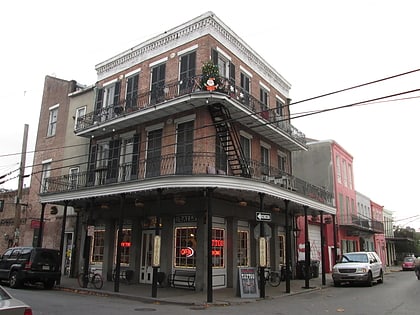
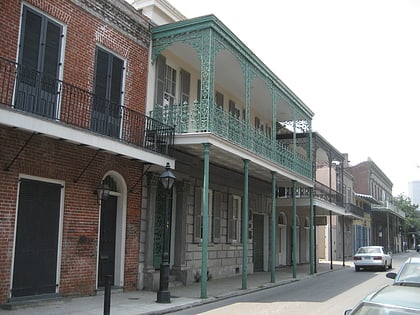
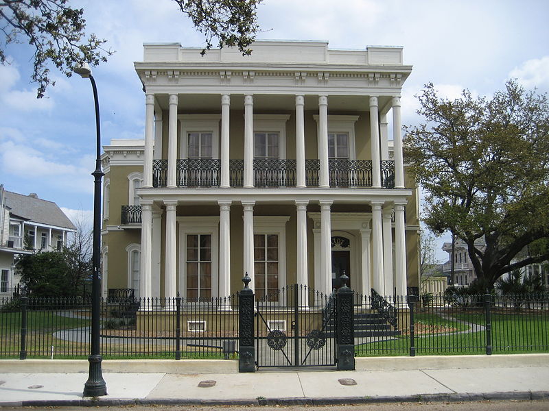
Esplanade Avenue is a historic street in New Orleans, Louisiana. It runs northwest from the Mississippi River to Beauregard Circle at the entrance to City Park. ()
Coordinates: 29°58'23"N, 90°4'26"W
Address
Mid-City New Orleans (Seventh Ward)New Orleans
ContactAdd
Social media
Add
Day trips
Esplanade Avenue – popular in the area (distance from the attraction)
Nearby attractions include: Cafe Lafitte in Exile, Saint Louis Cemetery, Louis Armstrong Park, New Orleans African American Museum.
Frequently Asked Questions (FAQ)
Which popular attractions are close to Esplanade Avenue?
Nearby attractions include Le Musee de f.p.c., New Orleans (4 min walk), Tremé, New Orleans (9 min walk), Rampart Street, New Orleans (9 min walk), Carver Theater, New Orleans (12 min walk).
How to get to Esplanade Avenue by public transport?
The nearest stations to Esplanade Avenue:
Tram
Bus
Tram
- Canal at Galvez • Lines: 47, 48 (24 min walk)
Bus
- FlixBus New Orleans • Lines: 2210, 2211, 2221 (32 min walk)

