Hallidie Plaza, San Francisco
Map

Gallery

Facts and practical information
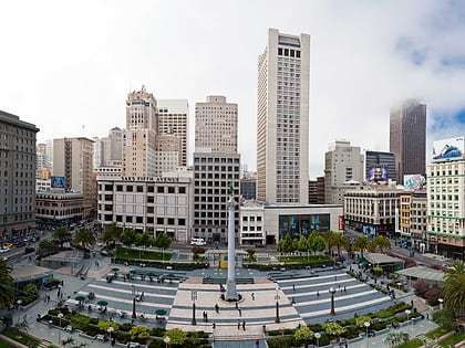
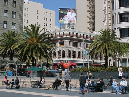
Hallidie Plaza is a public square located at the entrance to Powell Street Station on Market Street in the Union Square area of downtown San Francisco, California, United States. Hallidie Plaza was designed jointly by Lawrence Halprin, John Carl Warnecke, and Mario Ciampi and opened in 1973. In 1997, a perforated stainless steel-screened elevator was added to provide access to the plaza and station for disabled people. ()
Created: 1973Coordinates: 37°47'5"N, 122°24'29"W
Address
Northeast San Francisco (Downtown San Francisco-Union Square)San Francisco
ContactAdd
Social media
Add
Day trips
Hallidie Plaza – popular in the area (distance from the attraction)
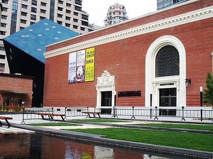
Nearby attractions include: Westfield San Francisco Centre, Metreon, Dewey Monument, Yerba Buena Gardens.
Frequently Asked Questions (FAQ)
Which popular attractions are close to Hallidie Plaza?
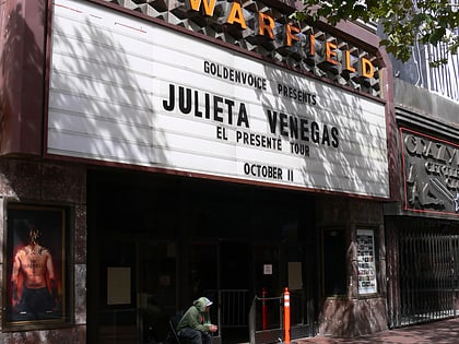
Nearby attractions include Flood Building, San Francisco (2 min walk), San Francisco Mint, San Francisco (4 min walk), Humboldt Bank Building, San Francisco (5 min walk), The Warfield Theatre, San Francisco (5 min walk).
How to get to Hallidie Plaza by public transport?
The nearest stations to Hallidie Plaza:
Tram
Light rail
Metro
Bus
Trolleybus
Train
Ferry
Tram
- Powell Street & Market Street (1 min walk)
- Market Street & Cyril Magnin Street • Lines: F (1 min walk)
Light rail
- Powell Street • Lines: K, N, S, T (1 min walk)
- Montgomery Street • Lines: K, N, S, T (12 min walk)
Metro
- Powell Street • Lines: Blue, Green, Red, Yellow (2 min walk)
- Montgomery Street • Lines: Blue, Green, Red, Yellow (13 min walk)
Bus
- Market Street & Powell Street • Lines: 5, 7, 800 (2 min walk)
- O'Farrell Street & Powell Street • Lines: 38, 38R (3 min walk)
Trolleybus
- 4th Street & Market Street • Lines: 30, 45 (4 min walk)
- Mission Street & 5th Street • Lines: 14 (5 min walk)
Train
- San Francisco 4th & King Street (24 min walk)
Ferry
- Ferry Building Gate G • Lines: San Francisco Bay Ferry (30 min walk)

 Muni Metro