St. James Episcopal Church, Amesbury

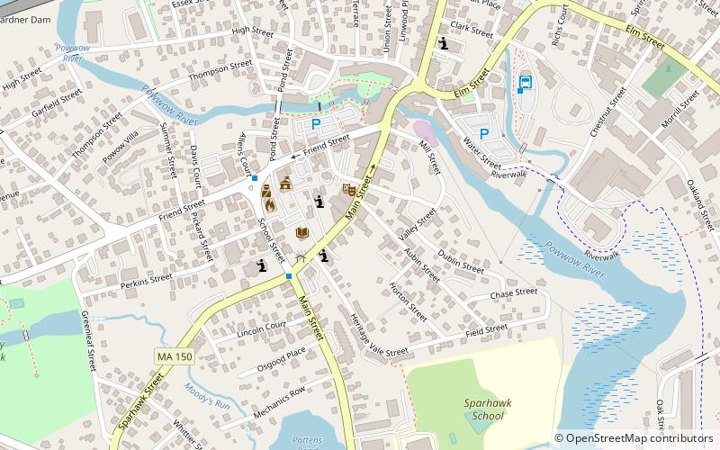
Map
Facts and practical information
St. James Episcopal Church is an historic parish in Amesbury, Massachusetts. ()
Coordinates: 42°51'20"N, 70°55'53"W
Address
AmesburyAmesbury
ContactAdd
Social media
Add
Day trips
St. James Episcopal Church – popular in the area (distance from the attraction)
Nearby attractions include: Lowell's Boat Shop, Macy-Colby House, Amesbury Friends Meeting House, John Greenleaf Whittier House.
Frequently Asked Questions (FAQ)
Which popular attractions are close to St. James Episcopal Church?
Nearby attractions include Amesbury and Salisbury Mills Village Historic District, Amesbury (5 min walk), John Greenleaf Whittier House, Amesbury (6 min walk), Amesbury Friends Meeting House, Amesbury (10 min walk), Macy-Colby House, Amesbury (18 min walk).
How to get to St. James Episcopal Church by public transport?
The nearest stations to St. James Episcopal Church:
Bus
Bus
- Sparhawk and Main • Lines: 83 (3 min walk)
- Nicolas Costello Transportation Center • Lines: 83 (7 min walk)


