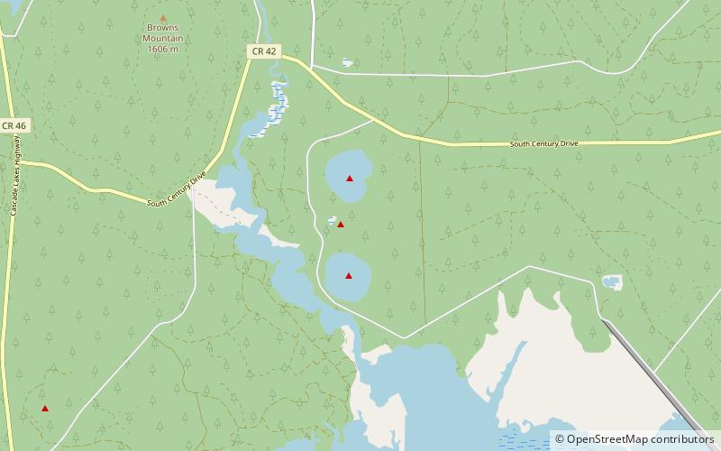
North and South Twin Lakes, Deschutes National Forest

Gallery (1)
Map
Map
Facts and practical information
North and South Twin Lakes are two nearly identical natural lakes in Deschutes County, Oregon. Both were formed around 20,000 years ago when a rising magma reservoir reached groundwater, creating violent steam explosions. Two craters were formed, later filling with water. ()
Elevation: 4423 ft a.s.l.Coordinates: 43°43'15"N, 121°45'50"W
Address
Deschutes National Forest
ContactAdd
Social media
Add
Day trips

