Liberty Peak, Humboldt-Toiyabe National Forest
Map

Map

Facts and practical information
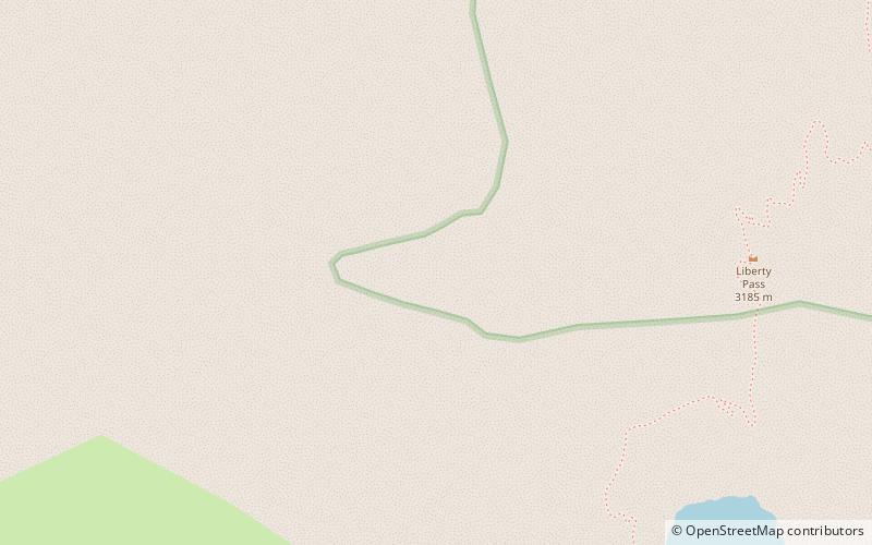
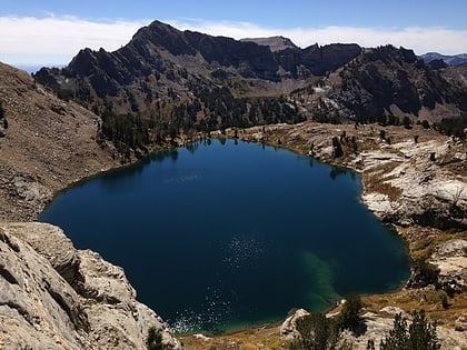
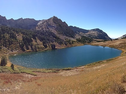
Liberty Peak is the name given to the officially unnamed mountain peak west of Liberty Pass in the Ruby Mountains of Elko County, Nevada, United States. It is located within the Ruby Mountains Wilderness of the Humboldt-Toiyabe National Forest. The peak rises from the head of Lamoille Canyon, and is a major part of the view at the Road's End Trailhead. To the southeast are Liberty Lake and Kleckner Canyon, while to the northwest is Box Canyon. It is located about 26 miles southeast of the community of Elko. ()
Elevation: 11037 ftProminence: 752 ftCoordinates: 40°35'11"N, 115°24'0"W
Address
Humboldt-Toiyabe National Forest
ContactAdd
Social media
Add
Day trips
Liberty Peak – popular in the area (distance from the attraction)
Nearby attractions include: Liberty Lake, Dollar Lakes, Lamoille Lake, Favre Lake.
Frequently Asked Questions (FAQ)
Which popular attractions are close to Liberty Peak?
Nearby attractions include Liberty Lake, Ruby Mountains Wilderness (11 min walk), Lamoille Lake, Humboldt-Toiyabe National Forest (13 min walk), Dollar Lakes, Humboldt-Toiyabe National Forest (24 min walk), Favre Lake, Ruby Mountains Wilderness (24 min walk).


