Timm's Point and Landing, Los Angeles
Map
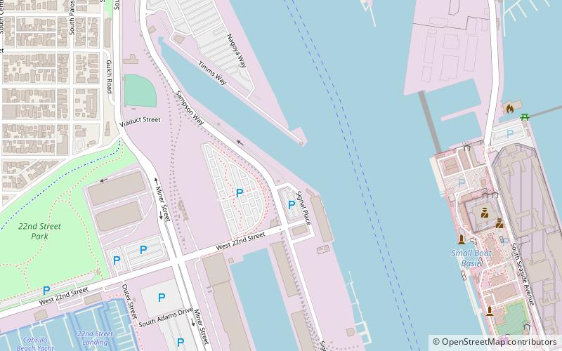
Map

Facts and practical information
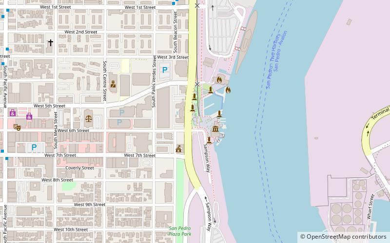
Timms' Point and Landing is a California Historical Landmark at Los Angeles harbor in the San Pedro neighborhood of Los Angeles. It is a Los Angeles Historic-Cultural Monument, listed in 1977 as Site of Timm's Landing. ()
Coordinates: 33°43'42"N, 118°16'30"W
Address
Harbor (Coastal San Pedro)Los Angeles
ContactAdd
Social media
Add
Day trips
Timm's Point and Landing – popular in the area (distance from the attraction)
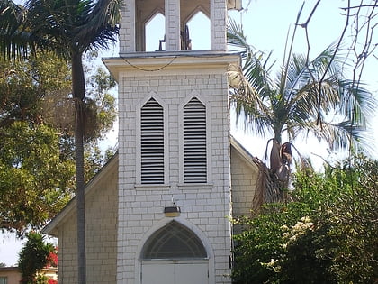
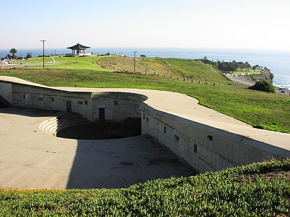
Nearby attractions include: USS Iowa, Los Angeles Maritime Museum, Old St. Peter's Episcopal Church, Fort MacArthur Museum.
Frequently Asked Questions (FAQ)
Which popular attractions are close to Timm's Point and Landing?
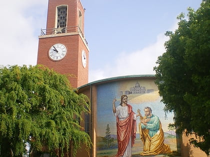
Nearby attractions include Ports O' Call Village, Los Angeles (10 min walk), Norwegian Seamen's Church, Rancho Palos Verdes (14 min walk), San Pedro Municipal Ferry Building, Los Angeles (19 min walk), Los Angeles Maritime Museum, Los Angeles (20 min walk).
How to get to Timm's Point and Landing by public transport?
The nearest stations to Timm's Point and Landing:
Tram
Bus
Tram
- 22nd Street/Marina • Lines: Waterfront Red Car Line (5 min walk)
- Samson Way/Ports O' Call • Lines: Waterfront Red Car Line (9 min walk)
Bus
- Pacific Avenue & 17th Street • Lines: J (19 min walk)

 Metro & Regional Rail

