Presidio Santa Cruz de Terrenate, San Pedro Riparian National Conservation Area

Gallery (1)
Map
Map
Facts and practical information
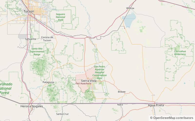
The Presidio Santa Cruz de Terrenate is a former Spanish military presidio, or fortress, located roughly west of the town of Tombstone, Arizona, in the United States of America. ()
Built: 1776 (250 years ago)Coordinates: 31°45'1"N, 110°12'7"W
Address
San Pedro Riparian National Conservation Area
ContactAdd
Social media
Add