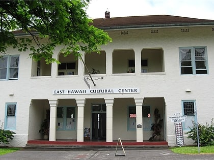
Wailoa Center, Hilo
Map
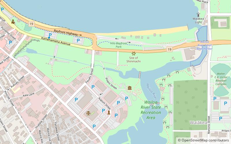
Map

Facts and practical information
The Wailoa River State Recreation Area, also known as Wailoa River State Park, is a park in Hilo, on Hawaiʻi Island in the US state of Hawaii. It was developed as a buffer zone following the devastating 1960 tsunami that wiped out the central bayfront district of Hilo. ()
Elevation: 26 ft a.s.l.Coordinates: 19°43'14"N, 155°4'37"W
Address
200 Piopio StSouth Hilo (Waiakea Ahupua`a)Hilo 96720-4274
Contact
+1 808-933-0416
Social media
Add
Day trips
Wailoa Center – popular in the area (distance from the attraction)
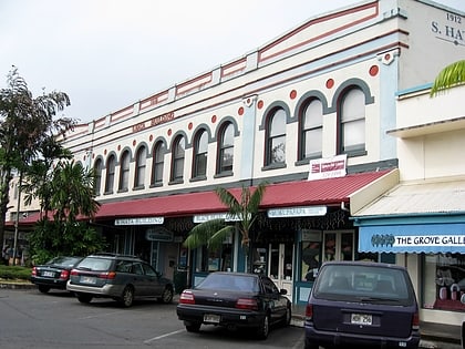
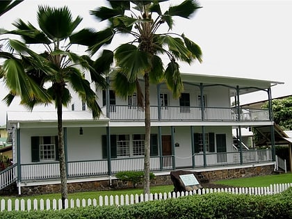
Nearby attractions include: Hoʻolulu Park, Liliuokalani Park and Gardens, S. Hata Building, Lyman House Memorial Museum.
Frequently Asked Questions (FAQ)
Which popular attractions are close to Wailoa Center?
Nearby attractions include S. Hata Building, Hilo (15 min walk), Hoʻolulu Park, Hilo (16 min walk), Liliuokalani Park and Gardens, Hilo (17 min walk), Palace Theater, Hilo (18 min walk).


