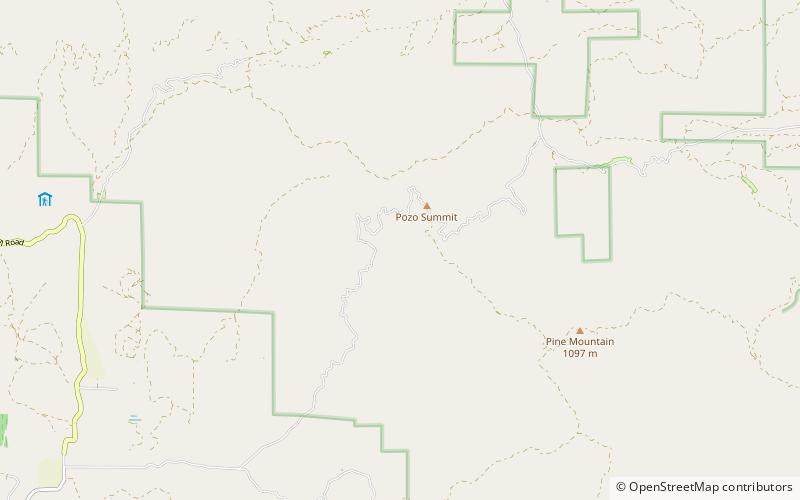
La Panza Range, Los Padres National Forest

Map
Facts and practical information
The La Panza Range is a mountain range in the Central Coast of California region in San Luis Obispo County, east of the small town of Santa Margarita. It is one of the California Coast Ranges and in the Los Padres National Forest. ()
Maximum elevation: 2385 ftElevation: 2385 ftCoordinates: 35°20'28"N, 120°18'0"W
Address
Los Padres National Forest
ContactAdd
Social media
Add