Alexander Street Park, Charlotte
Map

Map

Facts and practical information
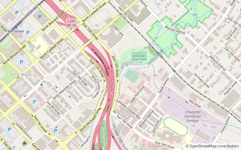
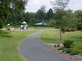
Alexander Street Park is a 3-acre park at 739 East 12th Street in Charlotte, North Carolina. The park contains playgrounds, picnic facilities, and a full court basketball court. The Little Sugar Creek Greenway runs through Alexander Street Park. ()
Created: 2009Elevation: 650 ft a.s.l.Coordinates: 35°13'36"N, 80°49'39"W
Address
918 North Alexander StreetCenter City (Belmont)Charlotte 28206
Contact
Social media
Add
Day trips
Alexander Street Park – popular in the area (distance from the attraction)
Nearby attractions include: Discovery Place, Spectrum Center, Truist Field, Harvey B. Gantt Center.
Frequently Asked Questions (FAQ)
Which popular attractions are close to Alexander Street Park?
Nearby attractions include McGill Rose Garden, Charlotte (6 min walk), First Ward Park, Charlotte (13 min walk), John Price Carr House, Charlotte (13 min walk), ImaginOn, Charlotte (15 min walk).
How to get to Alexander Street Park by public transport?
The nearest stations to Alexander Street Park:
Light rail
Tram
Bus
Train
Light rail
- 9th Street • Lines: Blue (12 min walk)
- 7th Street • Lines: Blue (16 min walk)
Tram
- McDowell Street • Lines: Gold (16 min walk)
- Davidson Street • Lines: Gold (17 min walk)
Bus
- Transit Center- Bay V • Lines: 35 (20 min walk)
- Charlotte Transportation Center (20 min walk)
Train
- Charlotte (27 min walk)


