Salem-Shotwell Covered Bridge, Opelika
Map

Map

Facts and practical information
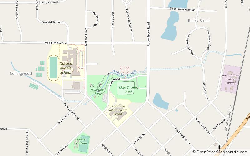
The Salem-Shotwell Covered Bridge, also known as the Pea Ridge Covered Bridge, is a locally owned wooden covered bridge that spans Rocky Brook in Lee County, Alabama, United States. It is located halfway down Park Road at Opelika Municipal Park, which is off North 5th Street in the city of Opelika. Coordinates are 32°39′33.46″N 85°22′52.94″W. ()
Completed: 1900 (126 years ago)Coordinates: 32°39'33"N, 85°22'53"W
Address
Park RoadOpelika
Contact
+1 334-705-5560
Social media
Add
Day trips
Salem-Shotwell Covered Bridge – popular in the area (distance from the attraction)
Nearby attractions include: Auburn Mall, Indian Pines Golf Course, Ebenezer Baptist Church, Noble Hall.


