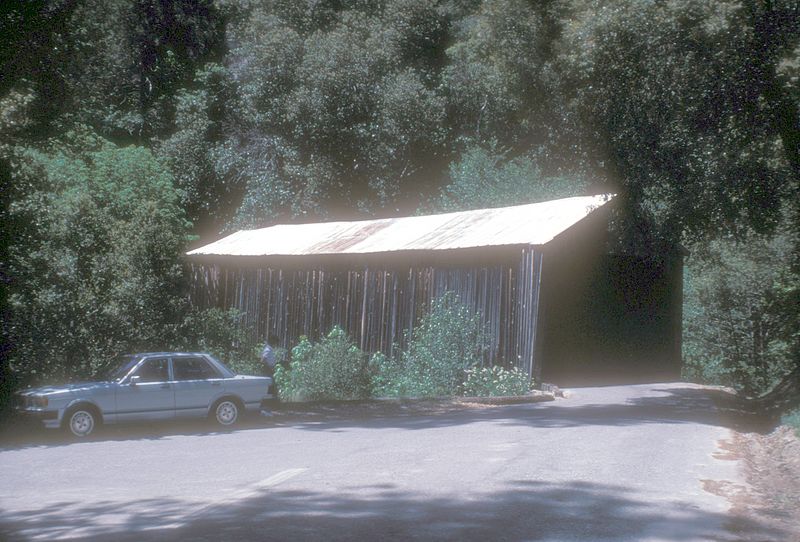
Oregon Creek Covered Bridge, Tahoe National Forest

Gallery (2)
Map
Map
Gallery
Facts and practical information
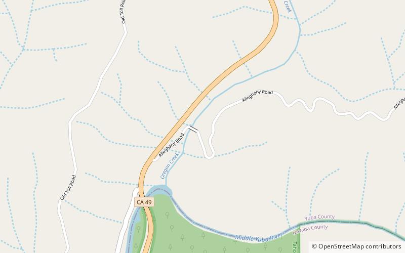
Oregon Creek Covered Bridge is a historic bridge that spans Oregon Creek just above its confluence with Middle Yuba River. It is located approximately 3 miles northeast of the community of North San Juan just off California State Route 49 within the Oregon Creek Day Use Area of the Tahoe National Forest. ()
Opened: 1860 (166 years ago)Length: 101 ftWidth: 12 ftCoordinates: 39°23'49"N, 121°4'55"W
Address
Tahoe National Forest
ContactAdd
Social media
Add
Day trips

