Fourmile Lake, Fremont–Winema National Forest
Map

Map

Facts and practical information
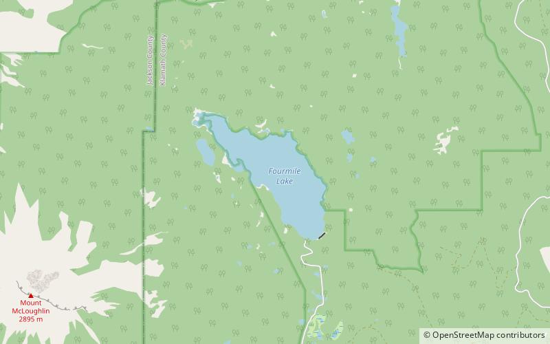
Fourmile Lake is a reservoir located 5,748 feet above sea level in Klamath County, Oregon, United States. It is 45 miles northeast of Medford. The lake was created when the 25-foot tall Fourmile Lake Dam was constructed, impounding Fourmile Creek, in the Klamath River watershed. It is located just to the east of Mount McLoughlin, which stands 9,495 feet above sea level. The lake is bordered by Sky Lakes Wilderness, and is in the Winema National Forest. ()
Area: 1.16 mi²Maximum depth: 170 ftElevation: 5748 ft a.s.l.Coordinates: 42°28'2"N, 122°15'18"W
Address
Or 140Fremont–Winema National Forest
ContactAdd
Social media
Add
Day trips
Fourmile Lake – popular in the area (distance from the attraction)
Nearby attractions include: Mount McLoughlin, Pelican Butte, Island Lake, Cascade Canal.


