Orono Main Street Historic District, Orono

Map
Facts and practical information
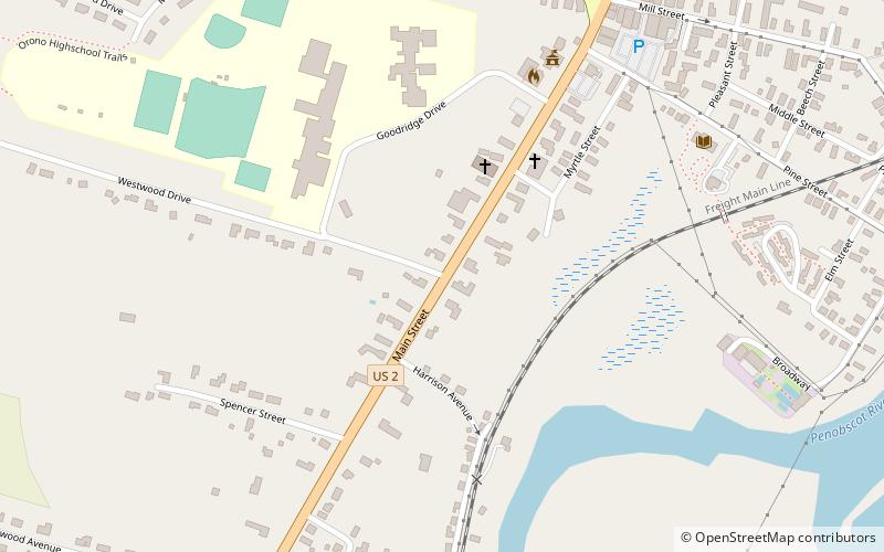
The Orono Main Street Historic District encompasses a well-preserved collection of predominantly residential 19th century buildings in Orono, Maine. It extends along Main Street's west side between Maplewood Avenue and Goodridge Road, and on the east side between Spencer and Pine Streets. The area was part of Orono's early settlement, and of a period of rapid growth in the first half of the 19th century. The district was listed on the National Register of Historic Places in 1977. ()
Built: 1829 (197 years ago)Area: 26 acres (0.0406 mi²)Coordinates: 44°52'47"N, 68°40'31"W
Address
Orono
ContactAdd
Social media
Add
Day trips
Orono Main Street Historic District – popular in the area (distance from the attraction)
Nearby attractions include: Orono Post Office, Page Farm & Home Museum, Orono Dam, Nathaniel Treat House.
Frequently Asked Questions (FAQ)
Which popular attractions are close to Orono Main Street Historic District?
Nearby attractions include Gov. Israel Washburn House, Orono (6 min walk), Orono Post Office, Orono (6 min walk), Nathaniel Treat House, Orono (15 min walk), Orono Dam, Orono (16 min walk).


