North Furlong Lake, Ruby Mountains Wilderness
Map
Map

Facts and practical information
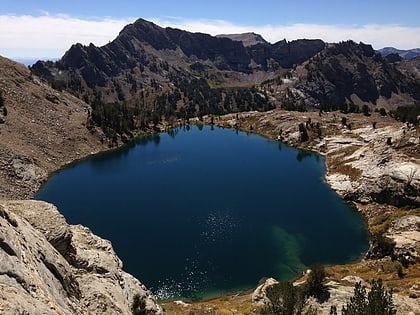
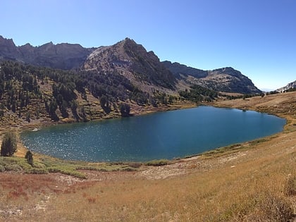
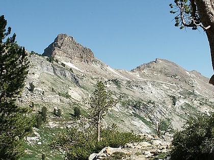
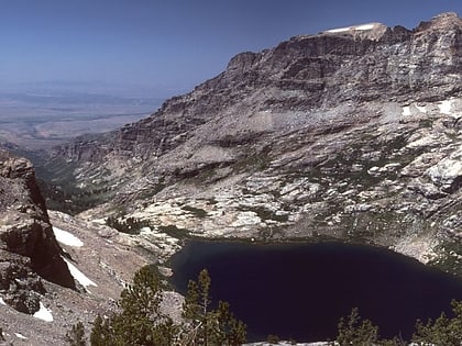
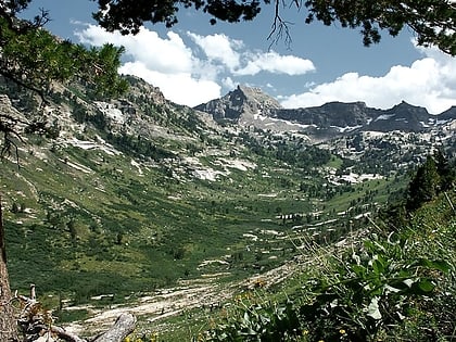
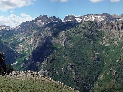
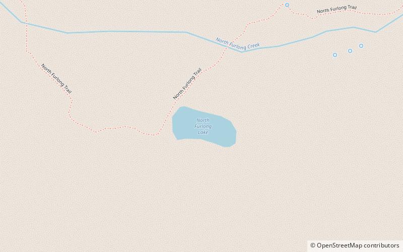
North Furlong Lake is a glacial tarn in the Ruby Mountains, in Elko County in the northeastern part of the state of Nevada. It is located at the head of North Furlong Canyon at approximately 40°33.4′N 115°24.8′W, and at an elevation of 9590 feet. It has an area of approximately 16 acres, and a depth of up to 20 feet. This is a common camp for users of the Ruby Crest National Recreation Trail, which passes nearby. ()
Maximum depth: 20 ftElevation: 9593 ft a.s.l.Coordinates: 40°33'23"N, 115°24'47"W
Address
Ruby Mountains Wilderness
ContactAdd
Social media
Add
Day trips
North Furlong Lake – popular in the area (distance from the attraction)
Nearby attractions include: Ruby Crest National Recreation Trail, Liberty Lake, Dollar Lakes, Island Lake.


