Trimble Knob, Monterey

Gallery (1)
Map
Map
Facts and practical information
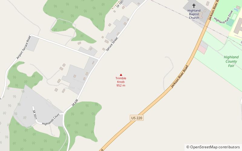
Trimble Knob, located southwest of Monterey in Highland County, Virginia, is a conical hill composed of basalt, a volcanic rock, of Eocene age. It is the eroded remnant of what was an active volcano or diatreme that last erupted approximately 35 million years ago, making it one of the youngest volcanos on the east coast of North America. ()
Coordinates: 38°24'17"N, 79°35'17"W
Address
Monterey
ContactAdd
Social media
Add