Oxbow National Wildlife Refuge

Gallery (1)
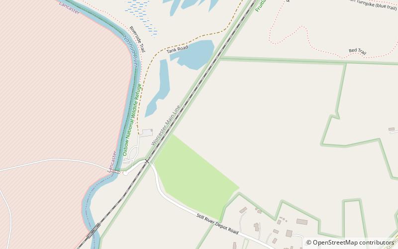
Map
Map
Facts and practical information
Oxbow National Wildlife Refuge is a property of the United States National Wildlife Refuge system located in Middlesex and Worcester counties in Massachusetts. It was founded in 1974. ()
Established: 1974 (52 years ago)Elevation: 266 ft a.s.l.Coordinates: 42°29'50"N, 71°37'23"W
Day trips


