McFarland Peak, Mount Charleston Wilderness
Map
Gallery
Facts and practical information
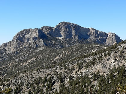
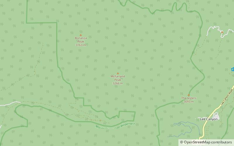
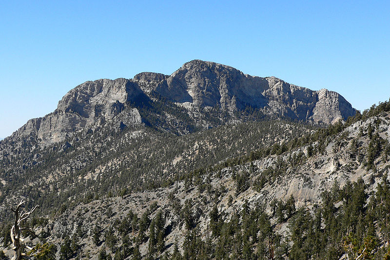
McFarland Peak is a limestone peak in the northern portion of the Spring Mountains in Clark County of southern Nevada. It is in the Toiyabe National Forest and the Mount Charleston Wilderness. ()
Elevation: 10749 ftProminence: 1165 ftCoordinates: 36°20'29"N, 115°43'34"W
Address
Mount Charleston Wilderness
ContactAdd
Social media
Add
Day trips
McFarland Peak – popular in the area (distance from the attraction)
Nearby attractions include: Lee Canyon Ski and Snowboard Resort, Mount Charleston, Mummy Mountain, Spring Mountains.
