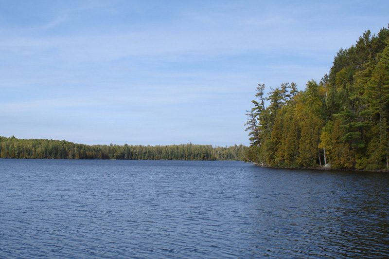
Sawbill Lake, Boundary Waters Canoe Area Wilderness

Gallery (2)
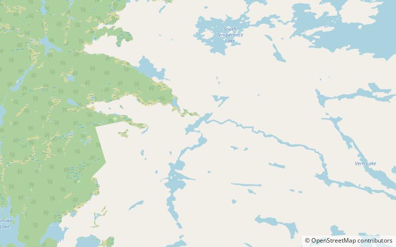
Map
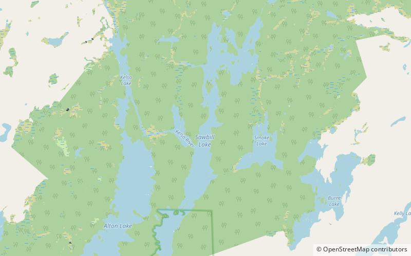
Map
Gallery
Facts and practical information
Sawbill Lake is a lake in Cook County, Minnesota. The closest town to Sawbill Lake is Tofte. It is a popular entry point to the Boundary Waters Canoe Area Wilderness in the Superior National Forest. Sawbill is a nickname of the common merganser duck. There is a United States Forest Service cabin, a canoe outfitter, and a campground located at the southern end of the lake. During the Great Depression there was a Civilian Conservation Corps camp six miles south of the lake. ()
Maximum depth: 45 ftElevation: 1788 ft a.s.l.Coordinates: 47°53'34"N, 90°52'34"W
Address
Boundary Waters Canoe Area Wilderness
ContactAdd
Social media
Add
Day trips
Sawbill Lake – popular in the area (distance from the attraction)
Nearby attractions include: Weird Lake.