Pawnee Creek, Pawnee National Grassland
Map
Facts and practical information
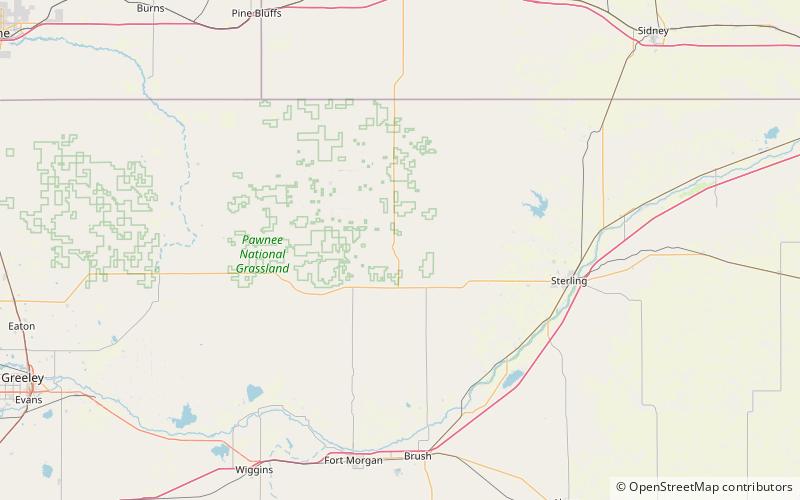
Pawnee Creek is a 46.5-mile-long tributary that joins the South Platte River in Logan County, Colorado south of Sterling. The creek's source is in Weld County at the confluence of North Pawnee Creek and South Pawnee Creek in Pawnee National Grassland. ()
Coordinates: 40°41'17"N, 103°40'23"W
Address
Pawnee National Grassland
ContactAdd
Social media
Add