Anna Maria Island Historical Society, Anna Maria
Map

Map

Facts and practical information
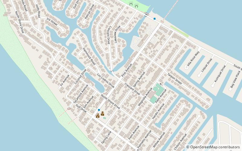
Anna Maria Island Historical Society (address: 402 Pine Ave) is a place located in Anna Maria (Florida state) and belongs to the category of top attraction, history museum, museum.
It is situated at an altitude of 3 feet, and its geographical coordinates are 27°31'46"N latitude and 82°44'5"W longitude.
Among other places and attractions worth visiting in the area are: Island Players (concerts and shows, 5 min walk), Passage Key National Wildlife Refuge (protected area, 46 min walk), Holmes Beach (city, 66 min walk).
Coordinates: 27°31'46"N, 82°44'5"W
Day trips
Anna Maria Island Historical Society – popular in the area (distance from the attraction)
Nearby attractions include: De Soto National Memorial, Palma Sola Botanical Park, Cortez Bridge, Florida Maritime Museum.
Frequently Asked Questions (FAQ)
When is Anna Maria Island Historical Society open?
Anna Maria Island Historical Society is open:
- Monday 10 am - 1 pm
- Tuesday 10 am - 1 pm
- Wednesday 10 am - 1 pm
- Thursday 10 am - 1 pm
- Friday 10 am - 1 pm
- Saturday closed
- Sunday closed


