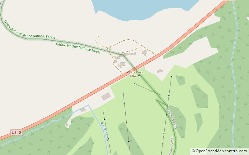
White Pass, Gifford Pinchot National Forest
Map

Map

Facts and practical information
White Pass is a mountain pass in the northwest United States, in the Cascade Range of Washington, southeast of Mount Rainier and north of Goat Rocks. U.S. Highway 12 travels over White Pass, connecting Yakima County on the east with Lewis County. ()
Maximum elevation: 4500 ftCoordinates: 46°38'18"N, 121°23'24"W
Address
Gifford Pinchot National Forest
ContactAdd
Social media
Add
Day trips
White Pass – popular in the area (distance from the attraction)
Nearby attractions include: White Pass Ski Area.

