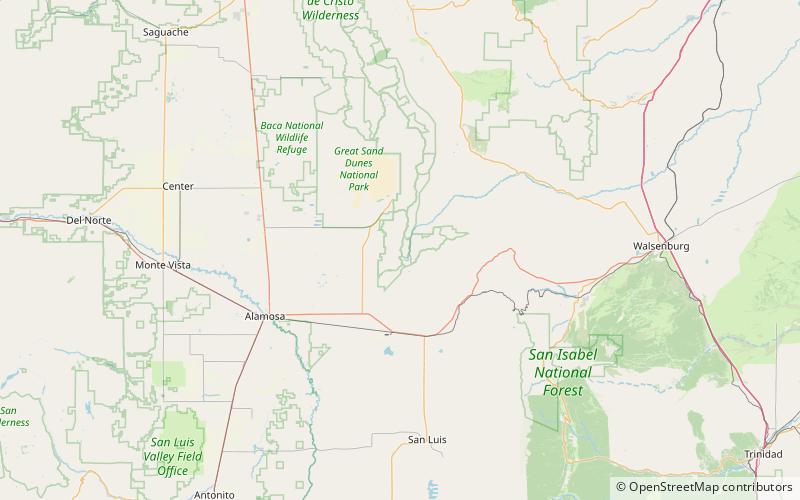
California Peak, Sangre de Cristo Wilderness

Map
Facts and practical information
California Peak is a high mountain summit in the Sangre de Cristo Range of the Rocky Mountains of North America. The 13,855-foot thirteener is located on the Sierra Blanca Massif, 12.1 miles north of the Town of Blanca, Colorado, United States, on the drainage divide separating in Rio Grande National Forest and Alamosa County from San Isabel National Forest and Huerfano County. ()
Elevation: 13855 ftProminence: 629 ftCoordinates: 37°36'51"N, 105°29'56"W
Address
Sangre de Cristo Wilderness
ContactAdd
Social media
Add
Day trips
California Peak – popular in the area (distance from the attraction)
Nearby attractions include: Ellingwood Point.
