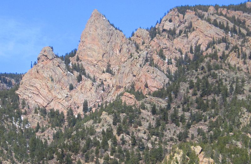
Wet Mountains, San Isabel National Forest

Gallery (2)
Map
Map
Gallery
Facts and practical information
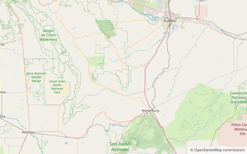
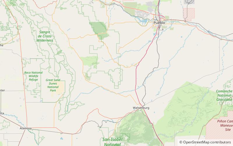
The Wet Mountains are a small mountain range in southern Colorado, named for the amount of snow they receive in the winter. They are a sub-range of the Sangre de Cristo Mountains, in the southern Rocky Mountains System. There are three variant names of mountain range: Cuerno Verde, Greenhorn Mountains, and Sierra Mojada. ()
Maximum elevation: 12346 ftCoordinates: 37°52'53"N, 105°0'47"W
Address
San Isabel National Forest
ContactAdd
Social media
Add
Day trips