"M" Circle, College Park
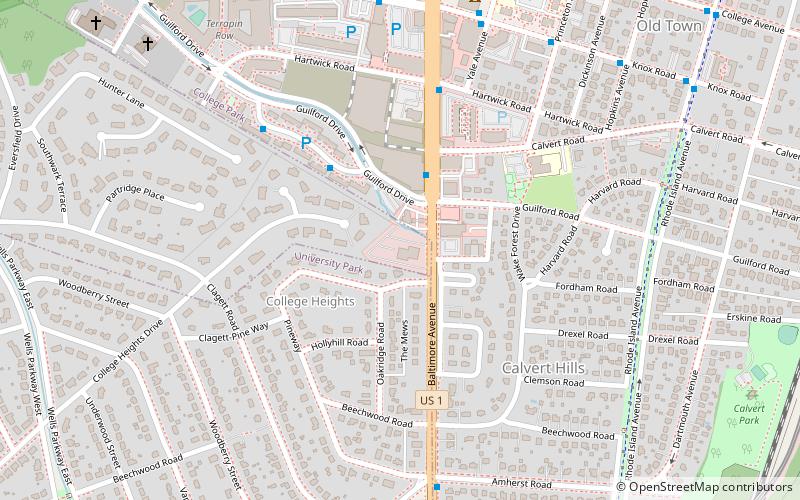
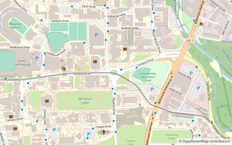
Map
Gallery

Facts and practical information
"M" Circle is a commemorative traffic circle on the campus of the University of Maryland, College Park. Created in 1976 to celebrate the American Bicentennial, the circle is noted for the large floral "M" that sits in its center. The flowers that make up the “M” are replaced twice annually. Around 1,200 tulip bulbs are planted in the fall and after blooming, are then replaced with around 3,500 marigolds or vodka begonias in the spring. ()
Coordinates: 38°59'15"N, 76°56'24"W
Address
College ParkCollege Park
ContactAdd
Social media
Add
Day trips
"M" Circle – popular in the area (distance from the attraction)
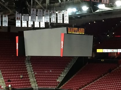
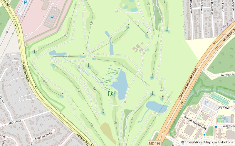
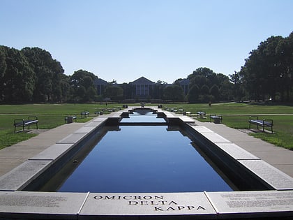
Nearby attractions include: Xfinity Center, University of Maryland Golf Course, McKeldin Mall, Memorial Chapel.
Frequently Asked Questions (FAQ)
Which popular attractions are close to "M" Circle?
Nearby attractions include University of Maryland College of Behavioral and Social Sciences, College Park (1 min walk), Broadcasting Archives at the University of Maryland, College Park (3 min walk), McKeldin Mall, College Park (4 min walk), Memorial Chapel, College Park (7 min walk).
How to get to "M" Circle by public transport?
The nearest stations to "M" Circle:
Bus
Metro
Train
Bus
- Campus Drive at M-Circle • Lines: 114, 115, 116, 117, 125, 128, 131, 132 (1 min walk)
- Mitchell Building • Lines: 105, 115, 116, 117, 118, 126, 131, 136 (2 min walk)
Metro
- College Park–University of Maryland • Lines: Gr, Yl (23 min walk)
Train
- College Park (23 min walk)

