Lake Springfield, Springfield
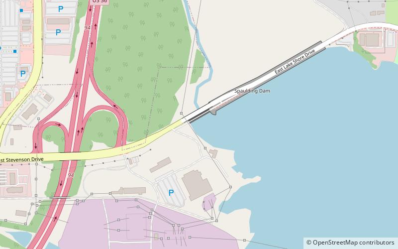
Map
Facts and practical information
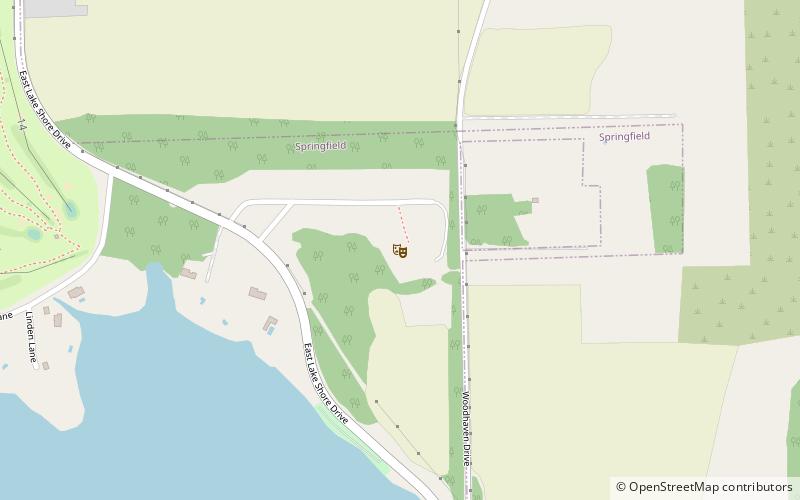
Lake Springfield is a 4,260-acre reservoir on the southeast edge of the city of Springfield, Illinois. It is 560 ft above sea level. The lake was formed in 1931–1935 by building Spaulding Dam across Sugar Creek, a tributary of the Sangamon River. ()
Elevation: 558 ft a.s.l.Coordinates: 39°45'34"N, 89°36'1"W
Day trips
Lake Springfield – popular in the area (distance from the attraction)
Nearby attractions include: Prairie Capital Convention Center, Springfield Municipal Opera, Henson Robinson Zoo, Elijah Iles House.

