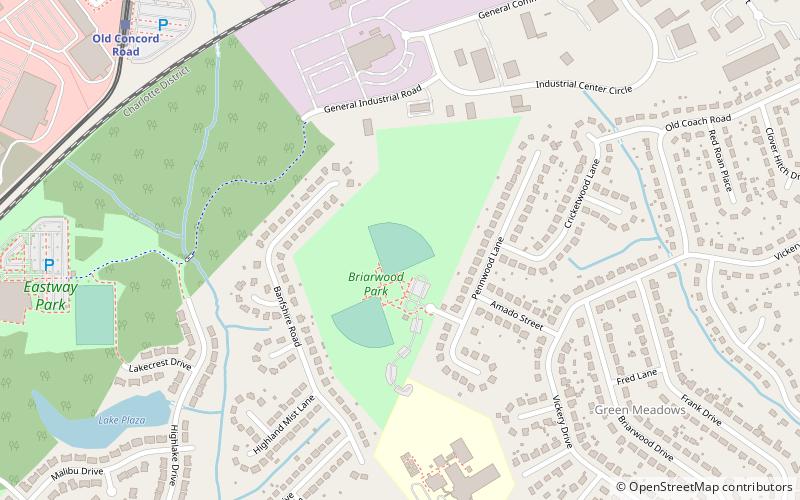
Briarwood Park, Charlotte
Map
Facts and practical information
Briarwood Park is a thirty-three acre urban park at 5349 Waterwood Street in Charlotte, North Carolina and is next to the somewhat larger Eastway Park. It features benches, tables and grills for picnicking, several softball fields, and a playground. The park is directly adjacent to Briarwood Elementary School. ()
Elevation: 758 ft a.s.l.Coordinates: 35°15'22"N, 80°46'1"W
Getting there by public transportation
Public transportation stops near this location
- Light rail
 Light rail
- Calculate routeOld Concord Road 11 min walk
Day trips


Frequently Asked Questions (FAQ)
How to get to Briarwood Park by public transport?
The nearest stations to Briarwood Park:
Light rail
Light rail
- Old Concord Road • Lines: Blue (11 min walk)