Turnbull Canyon, Los Angeles
Map
Gallery
Facts and practical information
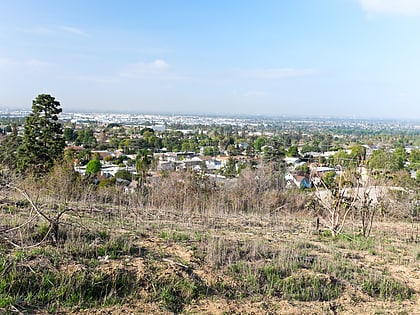
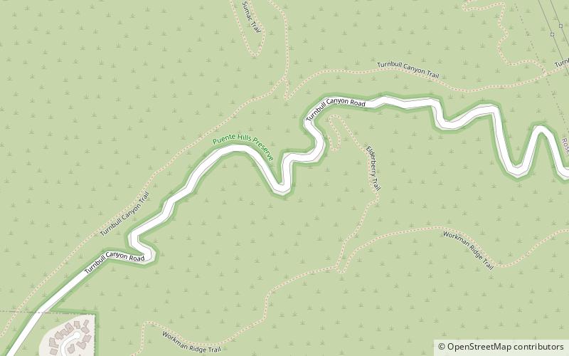
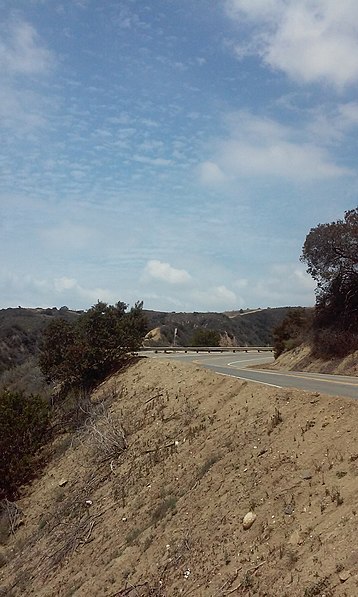
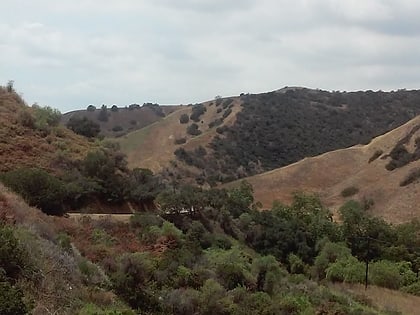
Turnbull Canyon is a 4 mile loop trail located near Whittier, California and is part of Puente Hills Preserve. It lies in the northern-central part of the preserve, and is an east-west canyon with relatively steep drainage. The canyon has a creek at its bottom that supports a narrow strip of riparian woodland dominated by sycamore trees, while the slopes are covered in coastal sage and native and non-native grasses. ()
Maximum elevation: 794 ftCoordinates: 33°59'35"N, 118°0'50"W
Address
Beverly Blvd. & Beverly Hills DrWhittierLos Angeles
ContactAdd
Social media
Add
Day trips
Turnbull Canyon – popular in the area (distance from the attraction)
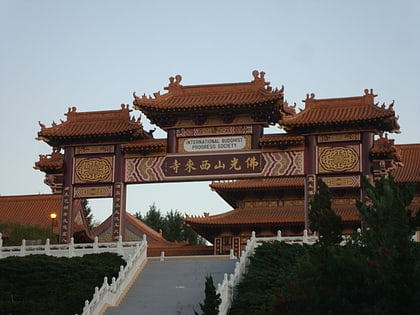
Nearby attractions include: Hsi Lai Temple, The Quad at Whittier, Whittwood Town Center, Pico Rivera Sports Arena.
 Metro & Regional Rail