University of Nevada, Reno

Map
Facts and practical information
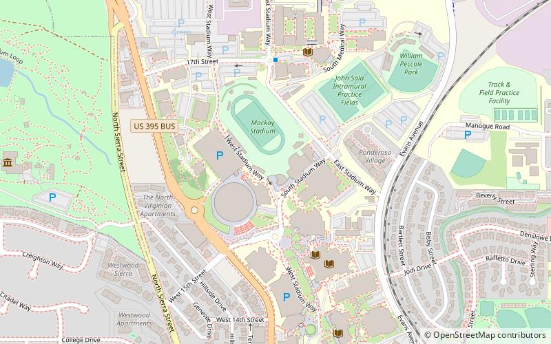
University of Nevada, Reno Arboretum is a state arboretum located across the campus at the University of Nevada, Reno in Reno, Nevada. ()
Coordinates: 39°32'45"N, 119°49'1"W
Day trips
University of Nevada – popular in the area (distance from the attraction)
Nearby attractions include: National Bowling Stadium, Reno Events Center, Reno Aces, Mackay Stadium.
Frequently Asked Questions (FAQ)
Which popular attractions are close to University of Nevada?
Nearby attractions include UNLV Arboretum, Reno (1 min walk), University of Nevada, Reno (3 min walk), Fleischmann Planetarium, Reno (3 min walk), W M Keck Earth Science and Mineral Engineering Museum, Reno (6 min walk).
How to get to University of Nevada by public transport?
The nearest stations to University of Nevada:
Bus
Bus
- Reno Downtown • Lines: 2064 (27 min walk)
- Bay X • Lines: Regional Connector (29 min walk)


