Route 66 Park, Joplin
Map
Facts and practical information
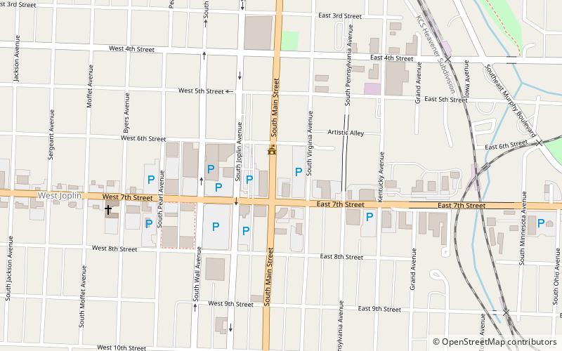
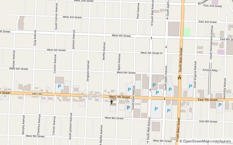
Route 66 Mural Park operates as a public park, specifically as a touchstone for US Route 66 tourists as well as for local preservers of U.S. Route 66 in Missouri. The park includes two large tile murals proposed by Paul Whitehill, produced by Images In Tile USA and designed by artists Chris Auckerman and Jon White. The park also features a bifurcated red sports car that anyone on pilgrimage can slide up beside and have a quickie photograph taken. Close to the intersection of 7th Street and Main, the mural covers the south side of Pearl Brothers, the iconic green hardware store of downtown Joplin. Near that same intersection, US Route 66 once shifted west and headed into Kansas. ()
Created: 2013Elevation: 994 ft a.s.l.Coordinates: 37°5'5"N, 94°30'48"W
Address
Joplin
ContactAdd
Social media
Add
Day trips


Frequently Asked Questions (FAQ)
Which popular attractions are close to Route 66 Park?
Nearby attractions include Main and Eighth Streets Historic District, Joplin (6 min walk), Joplin Public Library, Joplin (7 min walk), Joplin Carnegie Library, Joplin (7 min walk), Elks Club Lodge No. 501, Joplin (7 min walk).