Marcy-Holmes, Minneapolis
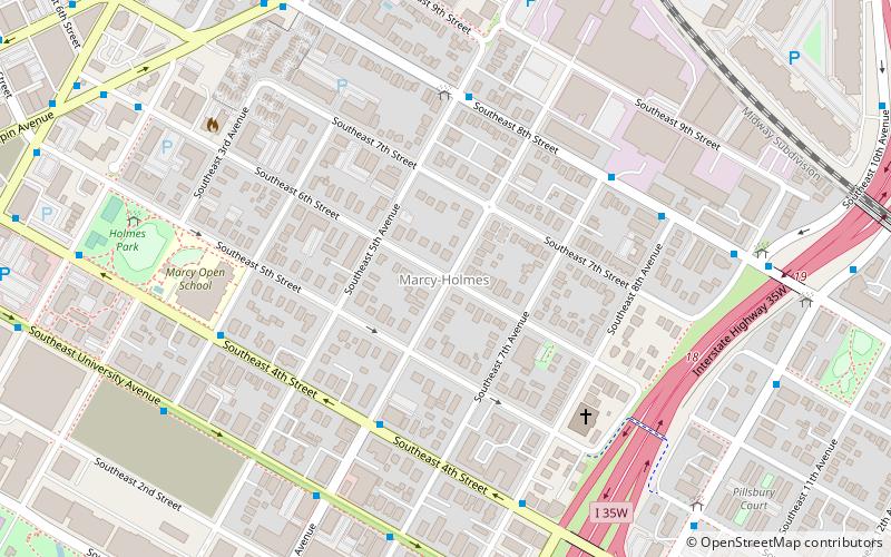
Map
Facts and practical information
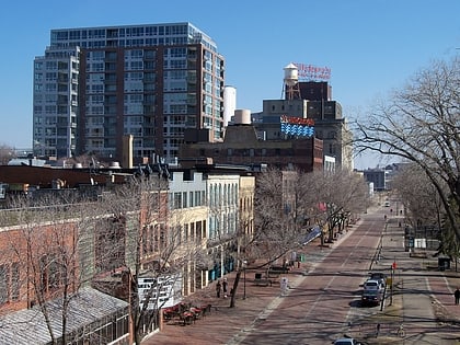
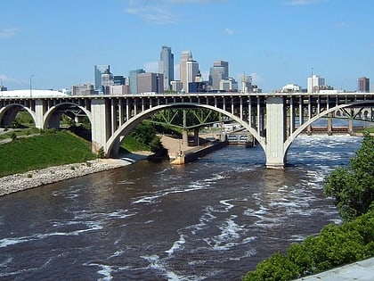
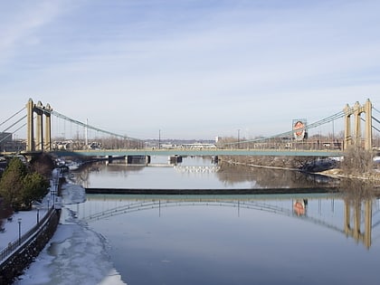
Marcy-Holmes is the first neighborhood of Minneapolis. The majority of the community is residential and sits upon a bluff overlooking the river and the city skyline. However, a small section of the neighborhood along the river is an industrial zone. ()
Area: 0.82 mi²Coordinates: 44°59'13"N, 93°14'43"W
Day trips
Marcy-Holmes – popular in the area (distance from the attraction)
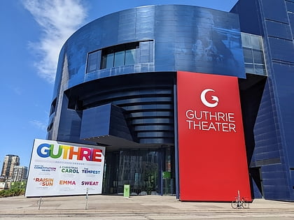
Nearby attractions include: Saint Anthony Falls, Stone Arch Bridge, Guthrie Theater, Saint Anthony Main.
Frequently Asked Questions (FAQ)
Which popular attractions are close to Marcy-Holmes?
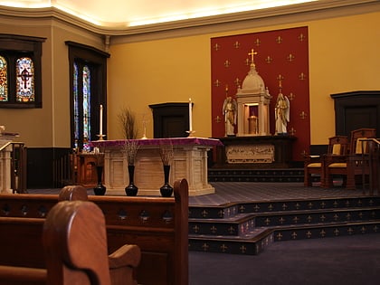
Nearby attractions include Woodbury Fisk House, Minneapolis (4 min walk), First Congregational Church, Minneapolis (5 min walk), The Soap Factory, Minneapolis (9 min walk), Midway Contemporary Art, Minneapolis (9 min walk).
How to get to Marcy-Holmes by public transport?
The nearest stations to Marcy-Holmes:
Bus
Light rail
Bus
- 4th Street & 6th Avenue • Lines: 250C, 250M, 270 (4 min walk)
- 5 Av Se • Lines: 2, 2C, 2E, 4, 4A, 4B, 4G, 4L, 4P (5 min walk)
Light rail
- West Bank • Lines: 902 (27 min walk)
- U.S. Bank Stadium • Lines: 901, 902 (28 min walk)


