Makamah Park Preserve, Long Island

Map
Facts and practical information
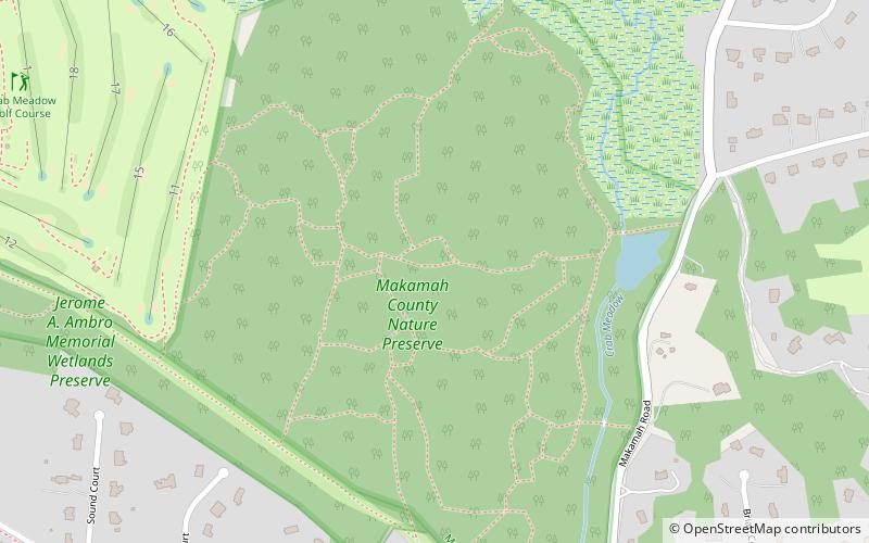
The Makamah Park Preserve is approximately 140 acres in the east watershed area of crab meadow park on the north shore of Long Island, New York. It is bounded on the east by route 25a and the Makamah road, south by the Long Island Lighting Company R.O.W. and west and south by the Town of Huntington Crab Meadow Golf Course and marsh. ()
Elevation: 62 ft a.s.l.Coordinates: 40°54'57"N, 73°18'59"W
Address
Fort SalongaLong Island
ContactAdd
Social media
Add
Day trips
Makamah Park Preserve – popular in the area (distance from the attraction)
Nearby attractions include: Vanderbilt Museum, Centerport, United States Post Office, Mill Dam Bridge.


