Cherry Lake, Stanislaus National Forest
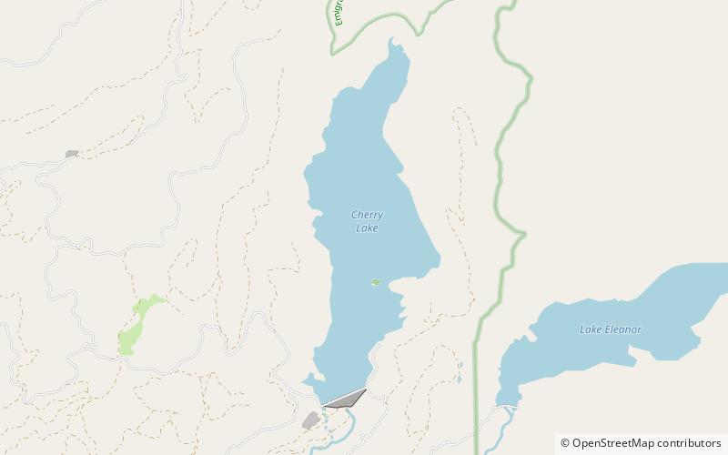
Map

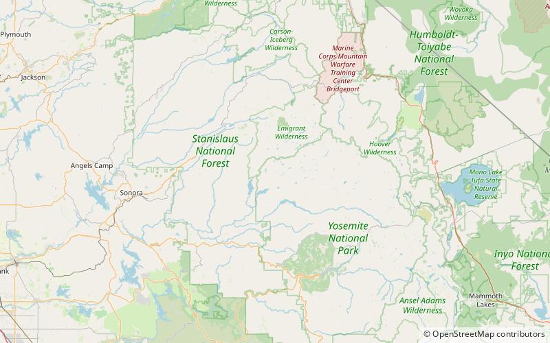
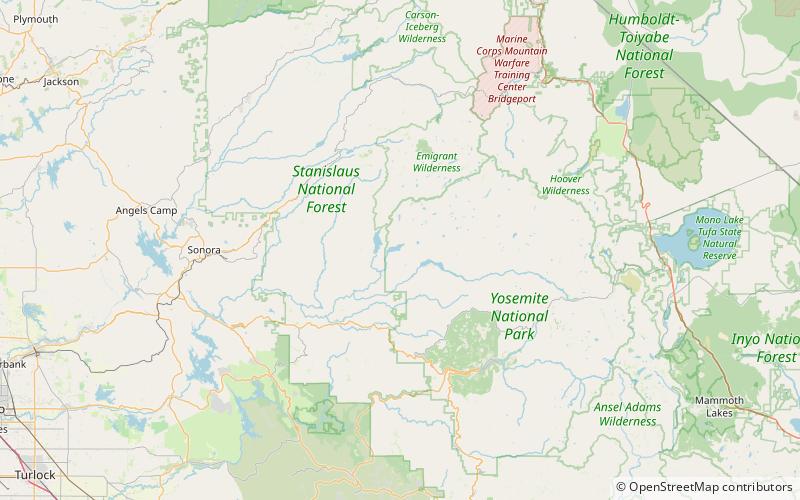
Map

Facts and practical information
Cherry Lake is an artificial lake in the Stanislaus National Forest of Tuolumne County, California, U.S.A. about 25 miles east of the city of Sonora. It is at an elevation of 4,700 feet on the western side of the Sierra Nevada, and lies just outside the western boundary of Yosemite National Park. The lake has a capacity of 273,500 acre⋅ft and is formed by Cherry Valley Dam on Cherry Creek. ()
Elevation: 4701 ft a.s.l.Coordinates: 38°0'3"N, 119°54'25"W
Address
Stanislaus National Forest
ContactAdd
Social media
Add
Day trips
Cherry Lake – popular in the area (distance from the attraction)
Nearby attractions include: Kibbie Lake, Lake Eleanor, Flora Lake, Frog Creek Cabin.


