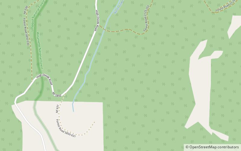
Calapooya Mountains, Andrews Forest
Map

Map

Facts and practical information
The Calapooya Mountains are a mountain range in Lane and Douglas counties of southwestern Oregon in the United States. The range runs for approximately 60 miles west from the Cascade Range between Eugene on the north and Roseburg on the south. ()
Maximum elevation: 6165 ftCoordinates: 43°29'59"N, 122°30'4"W
Address
Andrews Forest
ContactAdd
Social media
Add
