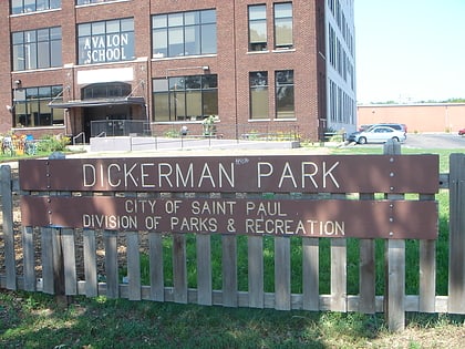
Selby Avenue, Saint Paul
Map

Gallery

Facts and practical information
Selby Avenue is a street in Saint Paul, Minnesota, United States, that runs east–west from Summit Avenue near downtown toward the Mississippi River. The street runs through the Summit-University and Union Park neighborhoods. The street, especially between Dale Street and Snelling Avenue, has been associated with Saint Paul's black community. The far eastern end of the street has historically been more densely developed and architecturally significant. ()
Coordinates: 44°56'48"N, 93°9'2"W
Address
Merriam Park - Lexington - Hamline (Lexington - Hamline South)Saint Paul
ContactAdd
Social media
Add
Day trips
Selby Avenue – popular in the area (distance from the attraction)
Nearby attractions include: Turf Club, St. Columba Church, SteppingStone Theatre, Minnesota Governor's Residence.
Frequently Asked Questions (FAQ)
Which popular attractions are close to Selby Avenue?
Nearby attractions include Saint Paul-Reformation Lutheran Church, Saint Paul (10 min walk), Skyline Tower, Saint Paul (11 min walk), Summit Avenue, Saint Paul (11 min walk), Pierce and Walter Butler House, Saint Paul (12 min walk).
How to get to Selby Avenue by public transport?
The nearest stations to Selby Avenue:
Bus
Light rail
Bus
- Lexington Parkway & Selby Avenue • Lines: 83 (5 min walk)
Light rail
- Lexington Parkway • Lines: 902 (17 min walk)
- Hamline Avenue • Lines: 902 (18 min walk)


