Independence Park, Houston
Map

Map

Facts and practical information
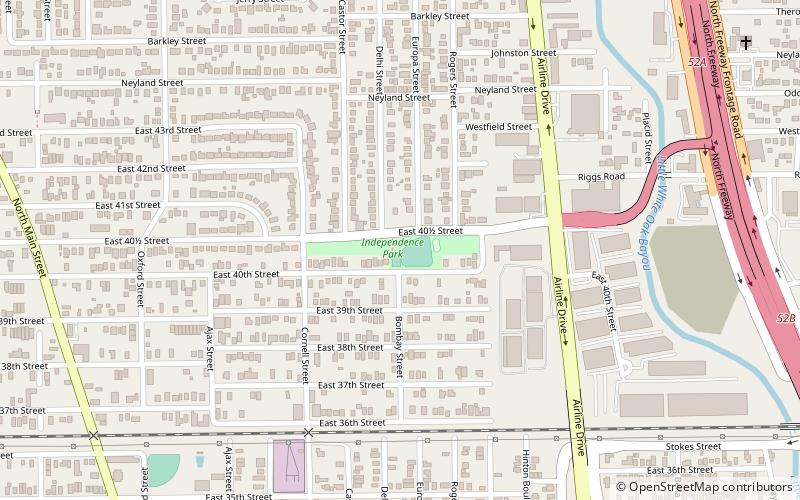
McCullough Park is a park located in the Independence Heights neighborhood of Houston, Texas, which is listed on the National Register of Historic Places. It was originally called Independence Park but was renamed by the city of Houston after its acquisition of Houston Heights in 1929. ()
Built: 1910 (116 years ago)Elevation: 56 ft a.s.l.Coordinates: 29°49'22"N, 95°23'13"W
Day trips
Independence Park – popular in the area (distance from the attraction)
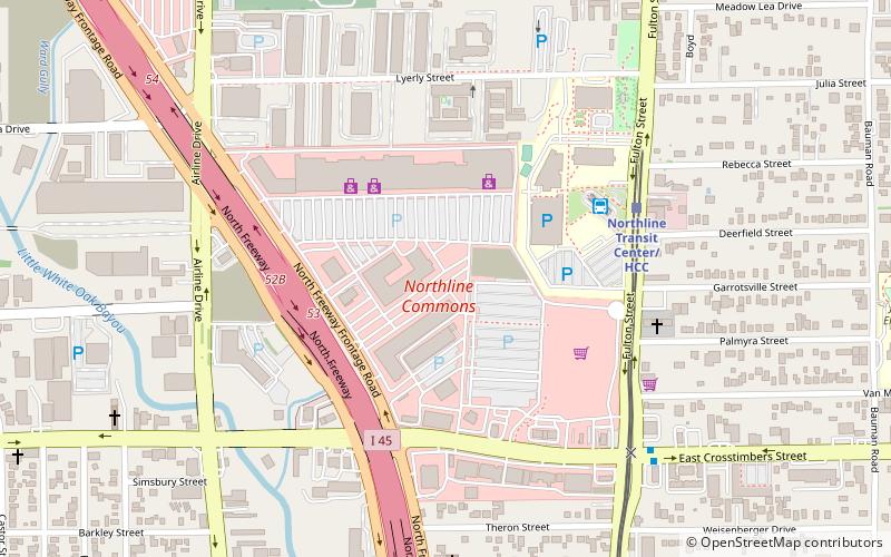
Nearby attractions include: Independence Heights Residential Historic District, Northline Commons, General Mercantile Store, Allbach House.
Frequently Asked Questions (FAQ)
Which popular attractions are close to Independence Park?
Nearby attractions include General Mercantile Store, Houston (14 min walk), Independence Heights Residential Historic District, Houston (18 min walk).
How to get to Independence Park by public transport?
The nearest stations to Independence Park:
Bus
Light rail
Bus
- Northline Transit Center (24 min walk)
Light rail
- Northline Transit Center/HCC • Lines: Red (25 min walk)
- Melbourne/North Lindale • Lines: Red (28 min walk)


