Harlem River, New York City

Map
Facts and practical information
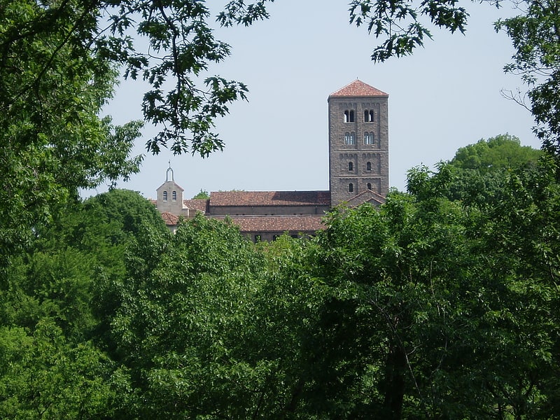
The Harlem River is an 8-mile tidal strait in New York, United States, flowing between the Hudson River and the East River and separating the island of Manhattan from the Bronx on the New York mainland. ()
Address
Upper Manhattan (Washington Heights)New York City
ContactAdd
Social media
Add
Getting there by public transportation
Public transportation stops near this location
- Metro
- Bus
- Train
 Metro
Metro
- Calculate routeDyckman Street 7 min walk
- Calculate route207th Street 11 min walk
- Calculate route191st Street 12 min walk
- Calculate routeMorris Heights 8 min walk
- Calculate routeUniversity Heights 13 min walk
- Calculate routeMarble Hill 32 min walk
- Calculate routeTremont 36 min walk
- Calculate routeSedgewick Avenue & Harlem River Park Bridge 11 min walk
- Calculate routeAmsterdam Avenue & West 178th Street 27 min walk
- Calculate routeGeorge Washington Bridge Bus Station 29 min walk
Maps SubwayMaps
 Manhattan Buses
SubwayMapsManhattan BusesDay trips


Frequently Asked Questions (FAQ)
Which popular attractions are close to Harlem River?
Nearby attractions include Roberto Clemente State Park, New York City (7 min walk), Dyckman-Hillside Substation, New York City (7 min walk), St. Jude Church, New York City (9 min walk), River Park Towers, New York City (11 min walk).
How to get to Harlem River by public transport?
The nearest stations to Harlem River:
Metro
Train
Bus
Metro
- Dyckman Street • Lines: 1 (7 min walk)
- 207th Street • Lines: 1 (11 min walk)
Train
- Morris Heights (8 min walk)
- University Heights (13 min walk)
Bus
- Sedgewick Avenue & Harlem River Park Bridge • Lines: Bx18 (11 min walk)
- Amsterdam Avenue & West 178th Street • Lines: M101 (27 min walk)