Confidence Hills, Death Valley National Park

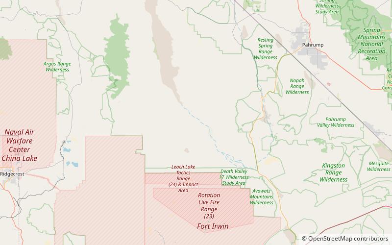
Map
Facts and practical information
The Confidence Hills are a mountain range in the Mojave Desert, in southern Inyo County, California. ()
Maximum elevation: 449 ftCoordinates: 35°51'23"N, 116°38'24"W
Address
Death Valley National Park
ContactAdd
Social media
Add
Day trips
Confidence Hills – popular in the area (distance from the attraction)
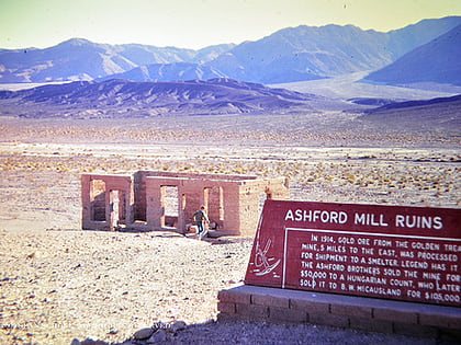
Nearby attractions include: Ashford Mill.
