Thea Park, Tacoma
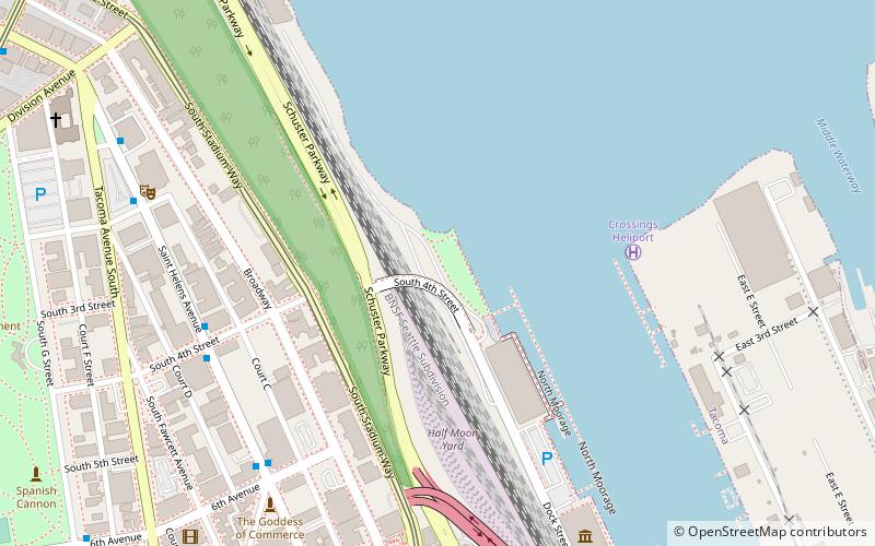
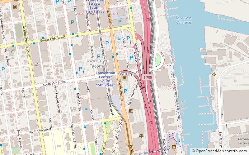
Map
Facts and practical information
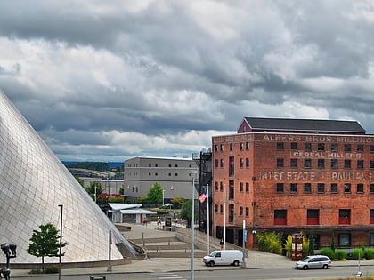
The Thea Foss Waterway, formerly the City Waterway, is a north–south inlet of Commencement Bay separating downtown Tacoma, Washington, from the Port of Tacoma. ()
Elevation: 0 ft a.s.l.Coordinates: 47°15'41"N, 122°26'24"W
Address
405 Dock St.New TacomaTacoma 98402
ContactAdd
Social media
Add
Day trips
Thea Park – popular in the area (distance from the attraction)
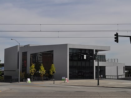
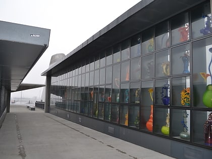
Nearby attractions include: Museum of Glass, Children's Museum of Tacoma, Tacoma Art Museum, Bridge of Glass.
Frequently Asked Questions (FAQ)
Which popular attractions are close to Thea Park?
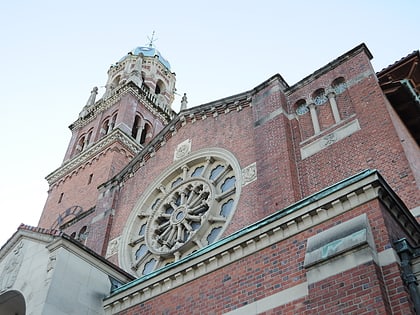
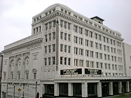
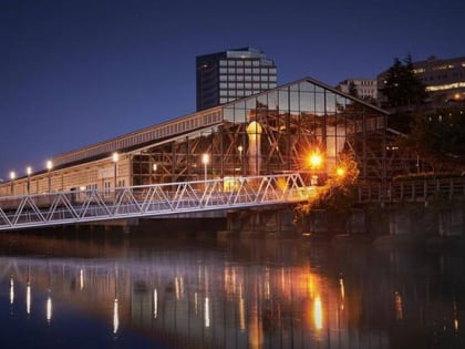
Nearby attractions include Landmark Convention Center, Tacoma (5 min walk), Old City Hall, Tacoma (7 min walk), Foss Waterway Seaport, Tacoma (8 min walk), Old City Hall Historic District, Tacoma (9 min walk).
How to get to Thea Park by public transport?
The nearest stations to Thea Park:
Light rail
Bus
Light rail
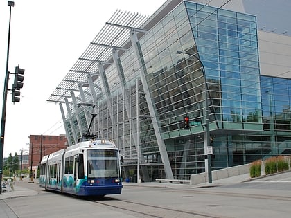
- Theater District/South 9th Street • Lines: T (10 min walk)
- Commerce Street/South 11th Street • Lines: T (16 min walk)
Bus
- S 9th St & St Helens Ave • Lines: 1, 11, 16, 45, 57 (11 min walk)
- S 9th St & Broadway • Lines: 1, 11, 16, 2, 45, 57 (12 min walk)
