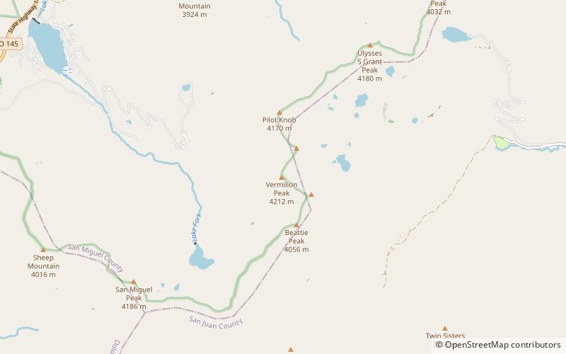
Vermilion Peak, Uncompahgre National Forest
Map

Map

Facts and practical information
Vermilion Peak is a mountain in Colorado. It is one of 637 Colorado peaks above 13,000 feet. It is located in the San Juan Range, and is the 74th highest mountain in Colorado. It is named Vermilion Peak because of the red-orange color it takes on when the sun shines on it. It is 9.7 miles ESE of Gladstone Peak. ()
Coordinates: 37°47'57"N, 107°49'41"W
Address
Uncompahgre National Forest
ContactAdd
Social media
Add
Day trips
Vermilion Peak – popular in the area (distance from the attraction)
Nearby attractions include: Lizard Head Pass.

